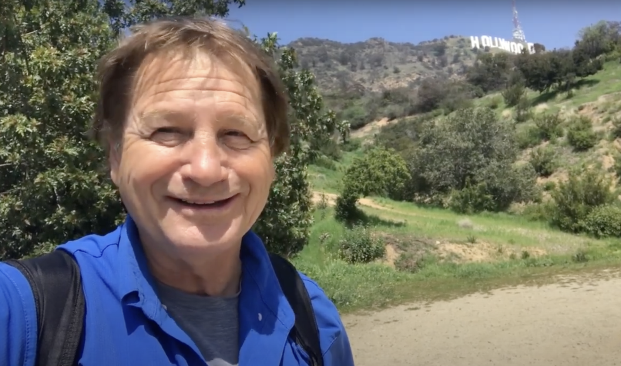
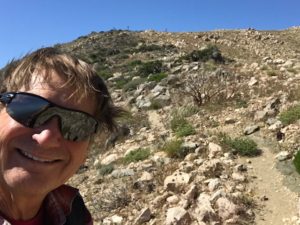
Hike to the HOLLYWOOD Sign. Celebrate the 100th anniversary of the iconic landmark. Enjoy this fun new video HIKE TO THE HOLLYWOOD SIGN
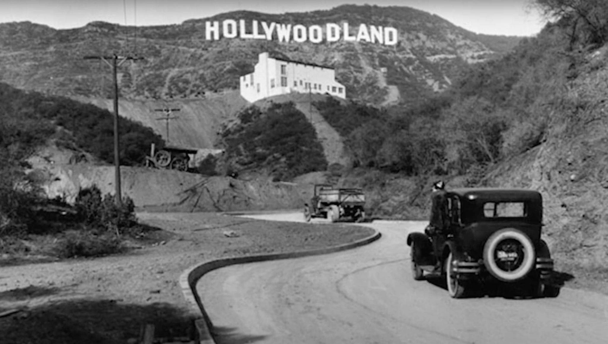
When the HOLLYWOOD Sign was dedicated on July 13, 1923, no one imagined it would become an iconic symbol for the entertainment industry and greater Los Angeles. Four thousand blinking bulbs were added to the towering letters, and it was lit up for the first time December 8, 1923
A hundred years ago, it was the HOLLYWOODLAND sign, put up by real estate developers to promote the sales of new homes in the Hollywood Hills. At the time, the “sign was believed to be the largest in the world.
Given the Writer Guild and Screen Actors Guild strikes and the uncertainty facing the TV-film industry, little wonder the sign has received scant attention in its centennial year. For a longer explanation of why the HOLLYWOOD Sign’s big year has been a bust, check out the Washington Post HOLLYWOOD Sign Story
Nevertheless it continues to be a highly popular destination for hikers. So let’s learn a little more about the Hollywood Sign before we hit the trail.
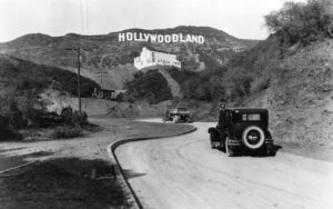
A rather rickety real estate advertisement it was, 14 unevenly spaced, 50-foot-high letters that swayed in the breeze. It was built to last for a year or two, but Hollywood rapidly became the moviemaking capital of the world and the sign endured, now forever associated with the silver scree
Hiking to the HOLLYWOOD Sign likely began in earnest during the 1930s when Depression era government workers constructed the Griffith Park trail system. In 1944, about 440 acres surrounding the HOLLYWOODLAND sign became part of Griffith Park. When the sign finally got a little TLC in 1949, the “LAND” portion of the sign was removed.
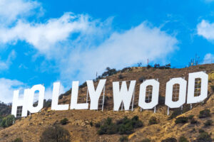
In 1978 the sign got an extreme makeover with steel letters supported by sturdy cement columns thanks to the generosity of celeb donors, including Hugh Hefner, Alice Cooper, and Gene Autry. Visit the Hollywood Sign Trust to learn more about the history of the HOLLYWOOD Sign.
To learn about all the Best Day Hikes in Griffith Park and the Hollywood Hills, get a copy of The Trailmaster Guide, Hike Griffith Park & the Hollywood Hills. For a limited time only, The Trailmaster’s Hike Griffith Park & Hollywood Hills ebook is available on Amazon for just $1.99.
Geography 101
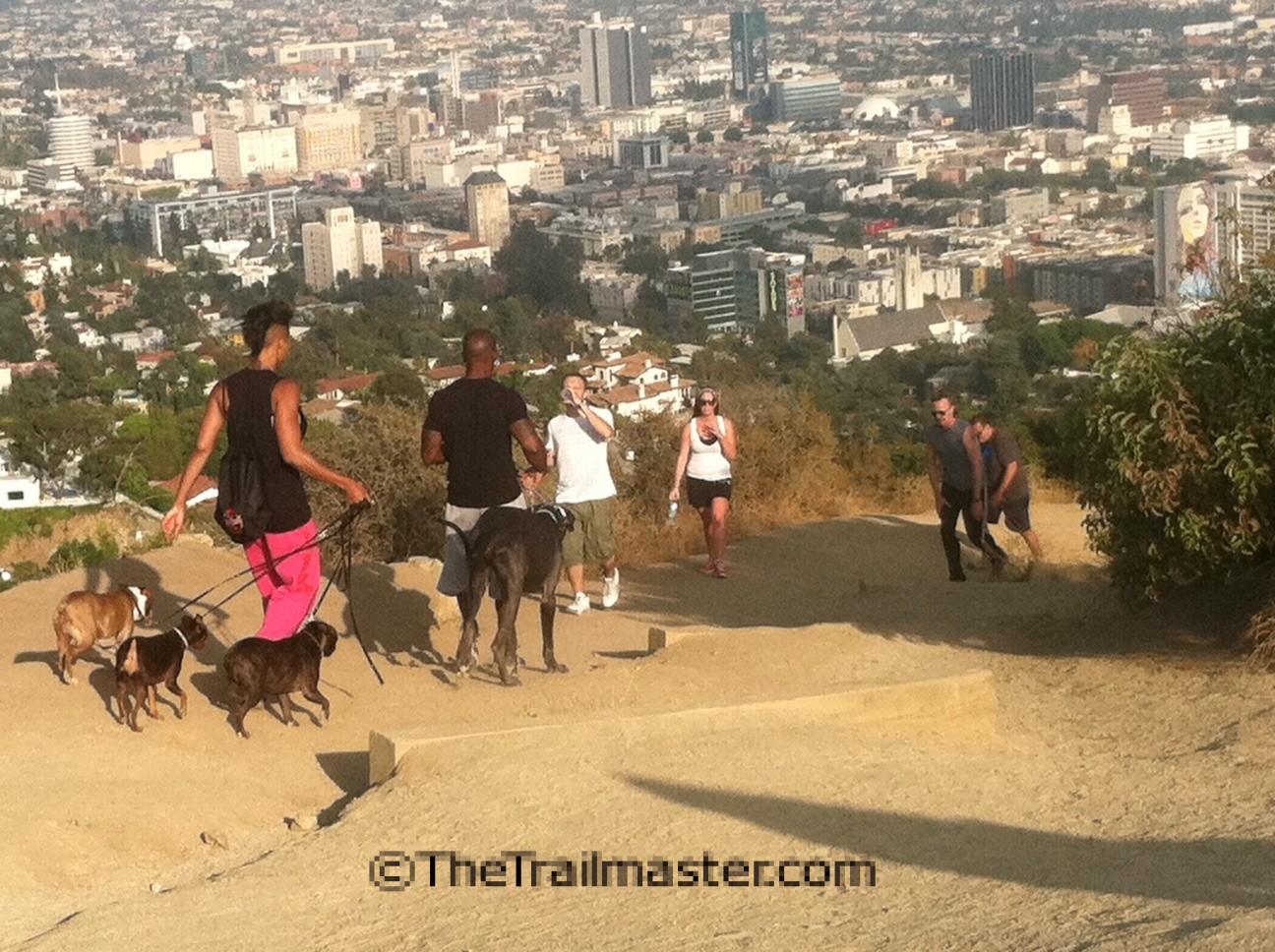
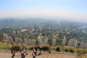
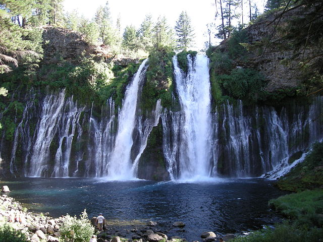
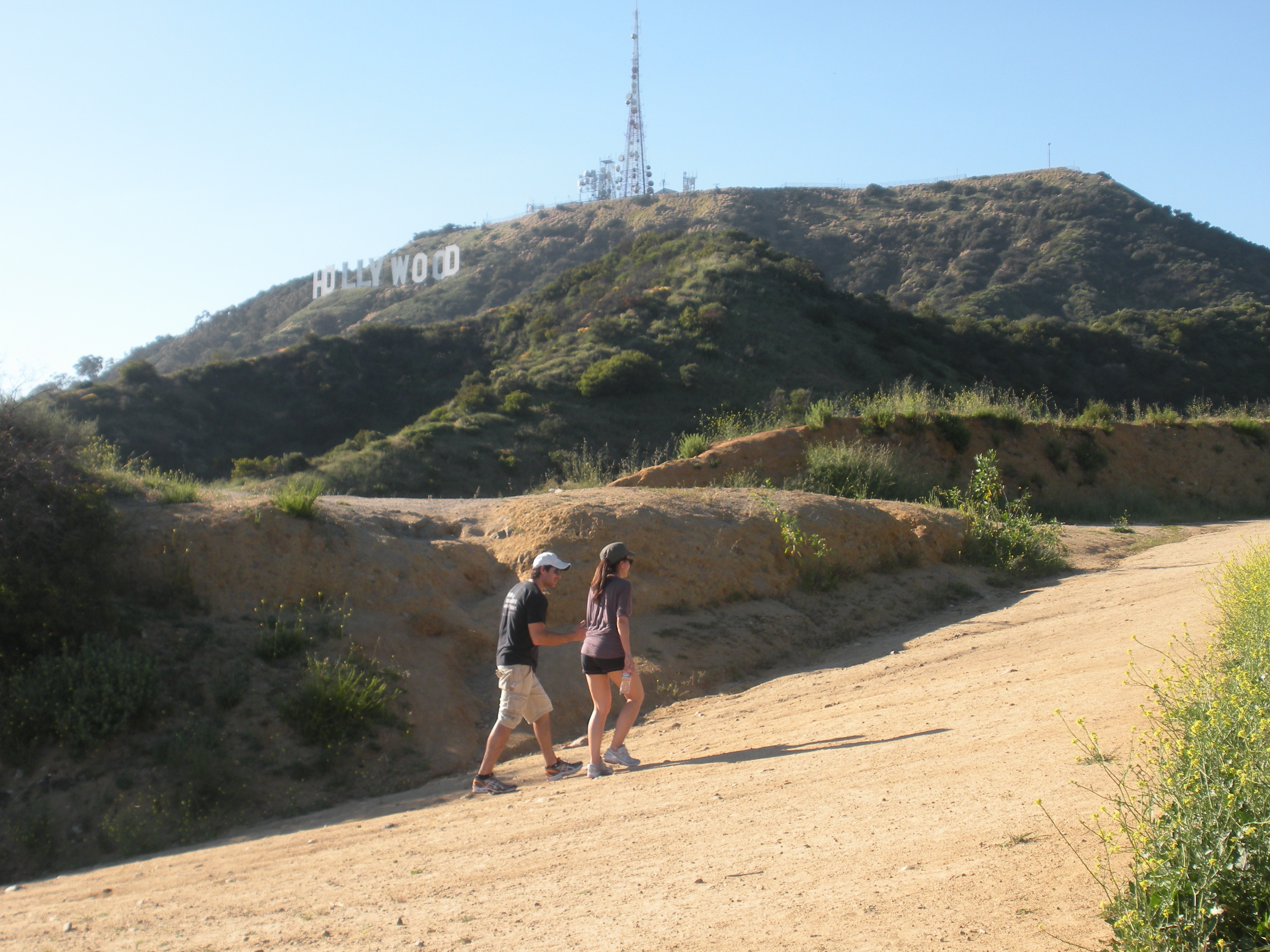
First thing a hiker needs to know is that Mt. Hollywood, Griffith Park’s premiere peak, is NOT the mountain crowned by the HOLLYWOOD Sign. The HOLLYWOOD SIGN rests near the summit of Mt. Lee. You’ll get great photo angles on the sign and abundant selfie opportunities as you ascend Mt. Lee. (Resist the urge to climb over the fence in order to have your picture taken next to the sign; it’s strictly illegal.
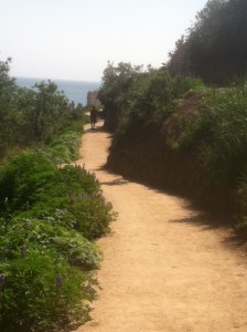
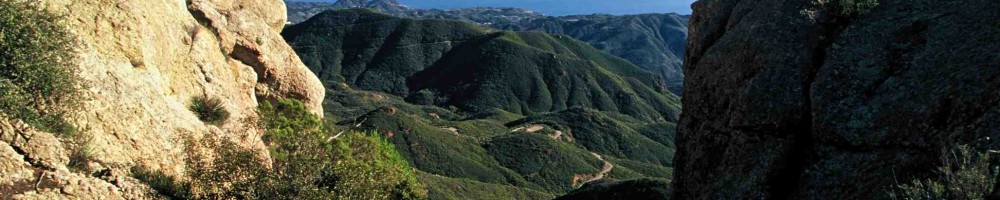
The Hollywood Hills form the eastern end of the Santa Monica Mountains and share a similar ecology to the range’s taller and wilder peaks to the west. The differences between the two ends of the range have more to do with human settlement than natural history; the Hollywood Hills are by far the most developed part of the mountains.
Three of The Trailmaster’s Favorite Hikes
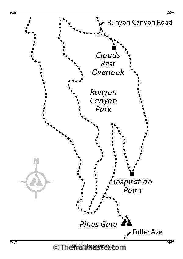
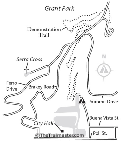
Hike to the HOLLYWOOD Sign from Innsdale Drive: Easy hike to Hollywood Sign Overlook (Selfie Heaven), followed by ascent on Mulholland Trail and Mt. Lee Drive to the sign.
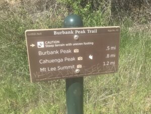
Hike to the HOLLYWOOD Sign from Wonderview Drive: A somewhat challenging route for the true hiker! Visit the Wisdom Tree and ascend Burbank Peak and Cahuenga Peak via Aileen Getty Trail on the way to the sign.
Hike to the HOLLYWOOD Sign from Brush Canyon: Visit the Bronson Caves (“Bat Cave”), ascend Brush Canyon to Mulholland Trail, then over to Mt. Lee Drive to the sign.
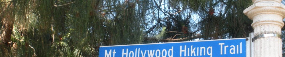
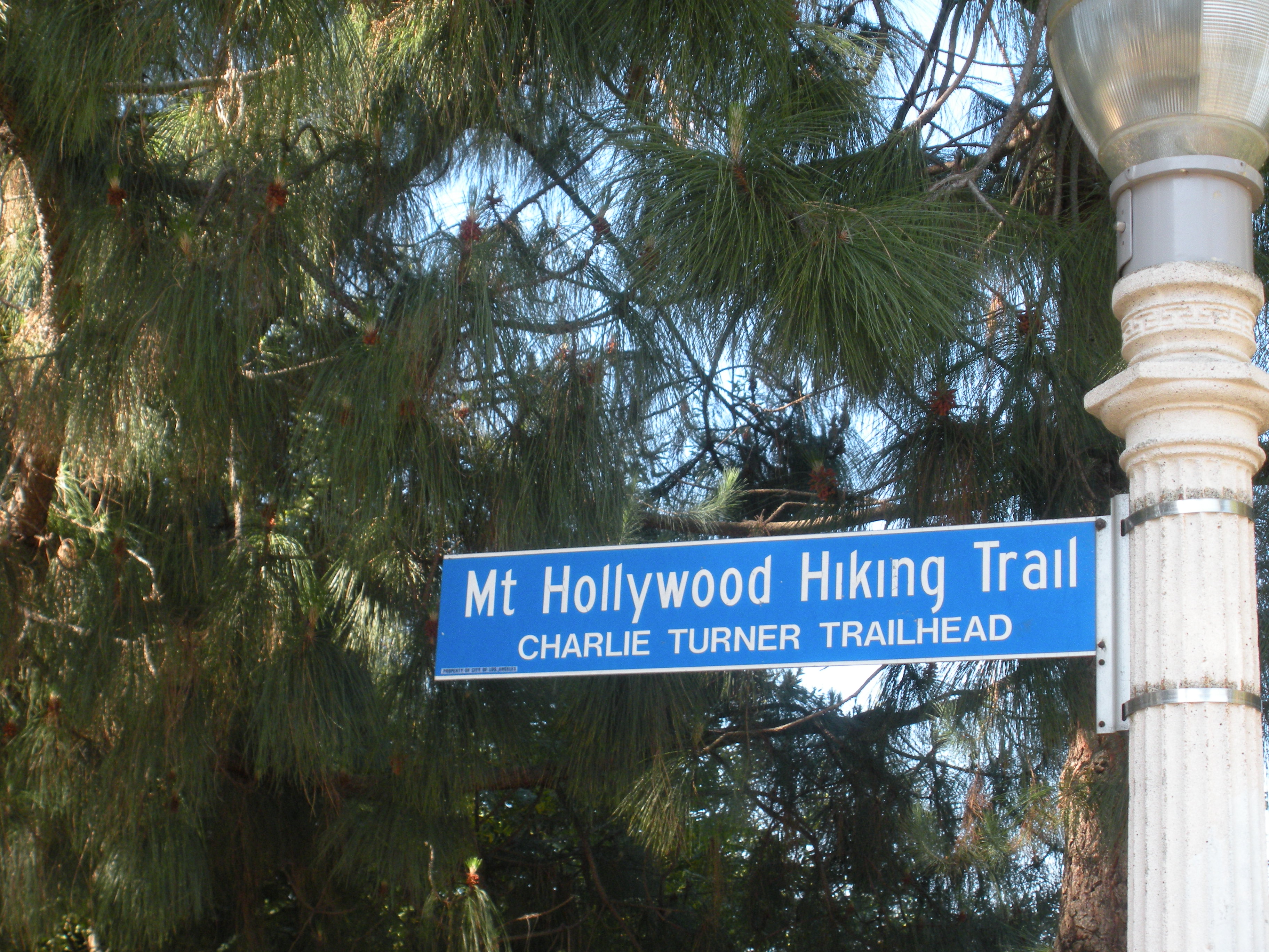
You can also hike to the HOLLYWOOD Sign from several popular locales in Griffith Park including Ferndell, Griffith Observatory, and Mt. Hollywood. Trailmaster recommendation: Climbing to Mt. Hollywood AND to the HOLLYWOOD Sign on the slopes of Mt. Lee adds up to a great hike!
Hollywood Sign from Innsdale Drive
From Innsdale Drive to Hollywood Sign Viewpoint
is 2 miles round trip with 200-foot elevation gain; to HOLLYWOOD Sign is 4.6 miles round trip with 700- foot gain
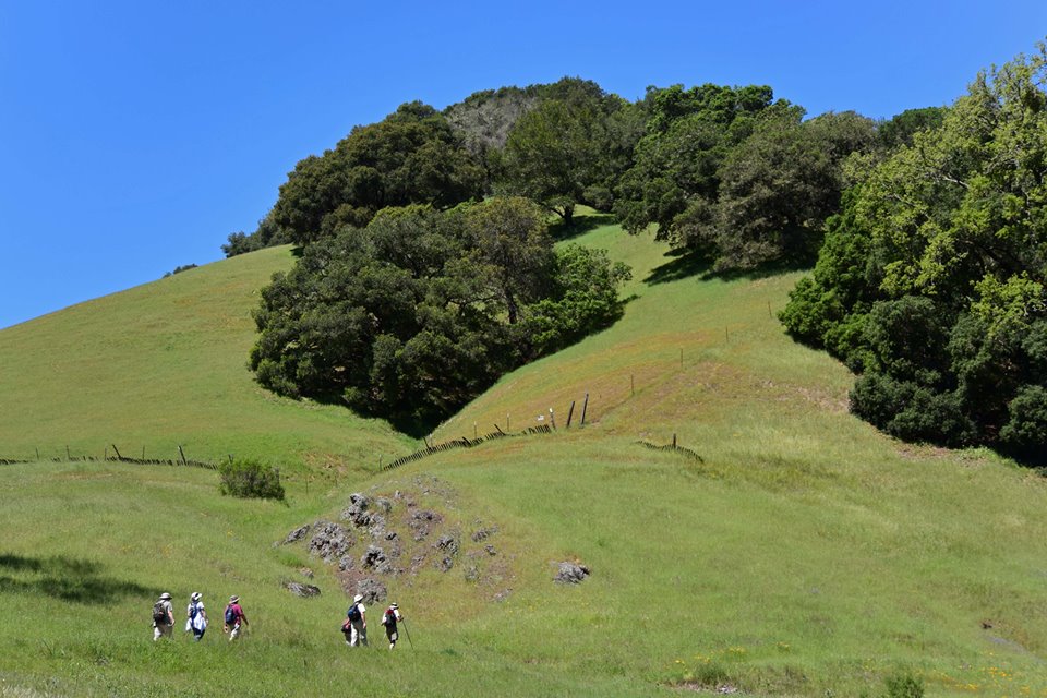
This hike does not save the best for last. Great views of the HOLLYWOOD Sign are yours from the beginning of the hike, which makes it highly appealing to the many visitors from across the nation and around the world looking for the easiest way to get photo ops.
A combination of winding streets and dirt fire roads lead a short mile to Hollywood Sign Viewpoint, aka Selfie Heaven. Frame your photos with the flora en route: cactus, California holly, palm trees, bougainvillea, and bamboo.
DIRECTIONS: From northbound Highway 101, exit on Barham Drive and drive north 0.3 mile to Lake Hollywood Drive. Turn right and follow the winding road, passing a junction with Wonder View Drive, then Lake Hollywood Reservoir. After 1.5 miles, turn left on Tahoe Drive and continue 0.25 mile to Canyon Lake Drive. Find curbside parking where you can, and the trailhead located 0.1 mile at the end of Canyon Lake Drive at Innsdale Drive.
THE HIKE: Walk up the wide dirt road (Innsdale Trail for lack of a better name) and… wow, there it is, the HOLLYWOOD Sign. Curve around a bend and just 0.25-mile out, you’ll find yourself directly below the letters. Wow!
The fire road angles right toward houses and at the 0.5-mile mark, squeeze past a driveway and reach a residential street (Mulholland). Turn left and make another left at the first junction. March past a thicket of signs, ascend past a last house to reach a dirt road, and wind across a hillside above the HollywoodLand neighborhood.
A short mile from the trailhead, the dirt trail ends at a teal-colored gate. Ascend steps to a paved road located at the crest of Deronda Drive to meet Mt. Lee Drive and a junction. Walk 100 yards up the paved service road (toward a water tank) to Hollywood Sign View. Join visitors from around the world, nearly all taking and posting photos.
Back to business and the route to the Hollywood Sign: 1.3 more miles up paved Mt. Leet Drive. As you ascend get views of Griffith Observatory and Mt. Hollywood to the east, and downtown L.A. to the southeast and, in 0.3 mile, meet a dirt fire road (Mulholland Trail) that leads toward Brush Canyon (see hike description). Keep left on the paved road for the final mile, and get more views: the Verdugo Mountains, San Gabriel Mountains, and downtown Burbank.
Just short of the summit, look right and note the signed junction with steep Aileen Getty Ridge Trail that leads to Cahuenga Peak. (A great add-on to this hike!) Minutes later, pass along the chain link fence separating the road from the sign, and reach a vista point above the ‘H’ in the HOLLYWOOD Sign. Enjoy!
Hollywood Sign from Wonderview Drive
From Wonder View Drive to Cahuenga Peak is 2.4 miles round trip with 900-foot elevation gain; to Mt Lee is 3.2 miles round trip
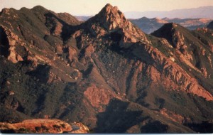
Wonder View Trail leads to the 1,820-foot summit of Cahuenga Peak, high point of the Hollywood Hills. The narrow and steep path (a true hiker’s route) continues to nearby Mt. Lee, which hosts the famed HOLLYWOOD Sign.
In 2010, hikers and movie fans from across the nation and around the world were delighted to learn that creative conservation efforts, combined with fundraising from private and public sectors, succeeded in purchasing the peak and adding it to Griffith Park.
When the developers announced plans to subdivide the peak into luxury estates, local conservationists, film fans, and celebs rallied to “Save the Peak.” Some
$12 million was raised to purchase the 138-acre site. Hollywood notables, including Steven Spielberg and Tom Hanks, plus the Tiffany & Company Foundation, Hugh Hefner and Aileen Getty contributed serious cash, as did state and local agencies.
As the story goes, Cahuenga, which names a pass, a peak and nowadays a boulevard was once a native Shoshone village located on the banks of the Los Angeles River near present-day Universal City. The peak is the 12th highest in the Hollywood Hills/Santa Monica Mountains.
DIRECTIONS: From Highway 101 in North Hollywood, exit on Barham Boulevard and head north 0.3 mile. Turn right on Lake Hollywood Drive and continue 0.5 mile to intersect Wonder View Drive (no street parking). Park alongside Lake Hollywood Drive.
THE HIKE: Walk 0.25 mile up paved Wonder View Drive to its end. Hike past a yellow vehicle gate on dirt road 300 feet to unsigned Burbank Peak Trail (formerly Wonder View Trail) on your right. Begin a steep eastward ascent east, zigzagging up the south slope of Cahuenga Peak. Enjoy wonderful views of Mt. Lee with its forest of antennae, Griffith Observatory, Mt. Hollywood, downtown L.A.
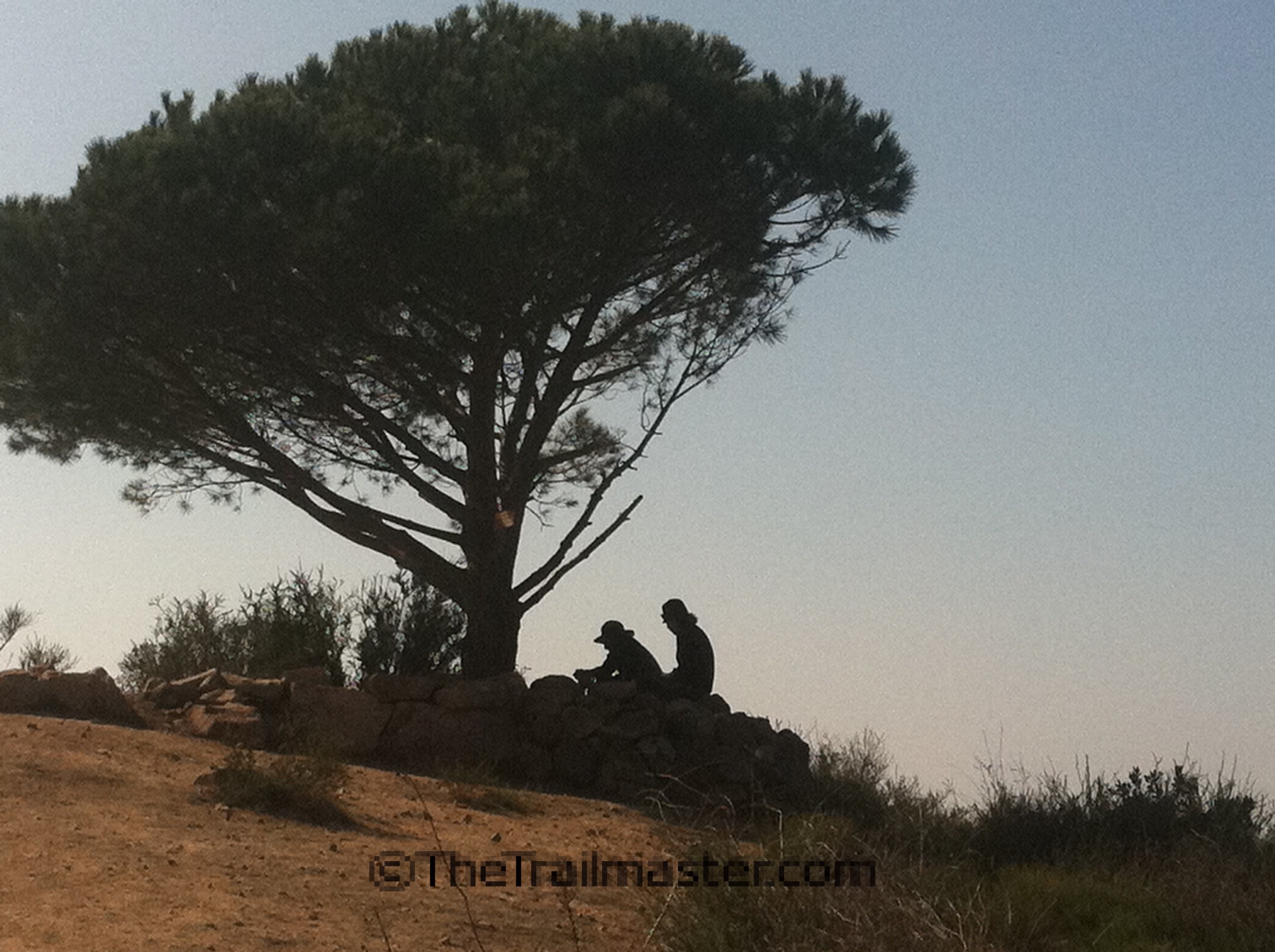
After a quite aggressive 0.8-mile climb the rough trail gains a ridgeline and splits: the signed right fork leads to Cahuenga Peak and a short pathway leads left to a lone pine tree and the top of Burbank Peak (1,690 feet). Pause to read the summit logbook stashed below the Wisdom Tree; hikers have been known to get very creative with their philosophizing in this book. Clear-day panoramic views are terrific—particularly angles on the San Fernando Valley and San Gabriel Mountains.
Join signed Aileen Getty Ridge Trail and hike east along a ridgeline 0.3 mile to the summit of Cahuenga Peak. The path then drops to a saddle between Cahuenga Peak and Mt. Lee (1,680 feet) and ends at Mount Lee Road. Turn right and walk up the paved road to the viewpoint above the HOLLYWOOD Sign.
Hollywood Sign from Brush Canyon
From Canyon Drive to HOLLYWOOD Sign is 6.4 miles round trip with 1,100-foot elevation gain
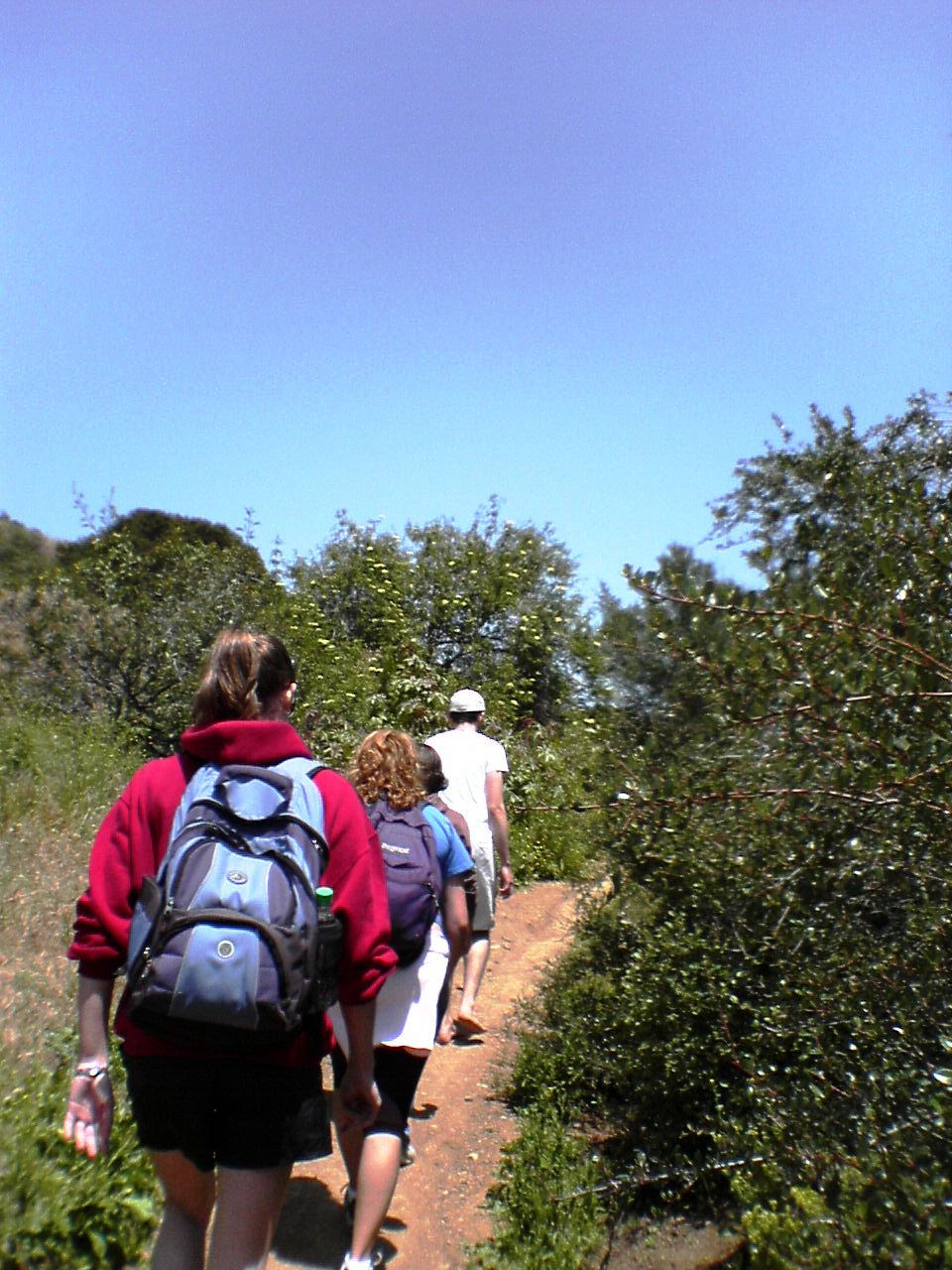
Located in the southeast area of the Griffith Park, Brush Canyon is less developed and less crowded than other areas of the park. Cloaked in chaparral, Brush Canyon definitely lives up to its name. Apparently, its brushy nature was not a secret; “Brush Canyon” was on the map in the early years of the 20th century—even before the park was established.
But brush isn’t the only flora in the Brush Canyon. Oak and sycamore thrive in the bottom of the canyon.
Along with offering a convenient trailhead for a hike to the HOLLYWOOD Sign, Brush Canyon is an ideal place to start for a sojourn to other nearby summits—particularly the three noteworthy peaks that rise above the ridges of the canyon: Mt. Bell, Mt. Chapel and Mt. Hollywood.
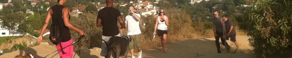
Due to the closure of the Hollyridge Trail, Canyon Drive trailhead has become a favorite trailhead for a hike to the HOLLYWOOD Sign. Expect lots of company on the trail from SoCal hikers and visitors from across the US and around the world.
DIRECTIONS: From Franklin Avenue, on the southern boundary of Griffith Park, turn north on Bronson Avenue or Canyon Drive (the streets soon join and continue as Canyon). Follow Canyon Drive a winding mile through the hills into Griffith Park. Park alongside the road or in a lot near a picnic area or in a small parking lot by the trailhead at road’s end. Note: Park authorities close the road at sunset.
THE HIKE: Those heading directly for the Bronson Caves will locate the trailhead on the right (east) side of Canyon Drive. Join a fire road and hike south a short distance to the caves.
Walk past an info board with a large park map and join the fire road (Brush Canyon Trail). The trail passes handsome sycamores that line the canyon bottom but once the trail begins climbing northeast it leaves the trees behind and Brush Canyon lives up to its name. Chaparral flora frame views of the HOLLYWOOD Sign and Mt. Hollywood.
After 1.25 miles and a stiff 600-foot gain, reach an overlook (great views of metro LA) and soon thereafter a signed junction with Mulholland Trail, a wide dirt road. Go left (west) on a more level course, pass a junction with Hollyridge Trail (that leads to the closed Beachwood Drive trailhead). Keep right, and wind west to meet Mt. Lee Drive, 2.2 miles from the trailhead.
A 0.4-mile descent on Mt. Lee Drive leads to Hollywood Sign View (great views indeed and photo ops galore from this overlook; see hike description from Innsdale Drive). Ascend the steep paved road about 1 mile to the summit and a view of DOOWYLLOH, those giant white capital letters from above and behind the sign.
A locked gate prevents hikers from reaching the top of Mt. Lee. But do enjoy the views from about 100 feet above the HOLLYWOOD Sign.

 Going back to the 1980s, I’ve helped defend the home mountains from unwise developments, cheered supporters and chastised bureaucrats, celebrated new parklands and new trails. I even spent the greater part of a year mapping, promoting, and speaking out for the Backbone Trail, the 65-mile pathway that extends across the spine of the range.