Earthquake Trail uses old photographs and other displays to explain the seismic forces unleashed by the great 1906 San Francisco earthquake. This well-done and entertaining geology lesson is particularly relevant because most of the land west of the San Andreas Fault Zone is within boundaries of Point Reyes National Seashore.
Plates forming the earth’s crust do not always creep quietly past each other. In 1906 they clashed violently, and the result was California’s worst natural disaster. During the great quake, Point Reyes was shoved 16.4 feet to the northwest. A cow barn, located near the park rangers’ headquarters, was ripped in two. A corner of the barn stayed on the foundation and the rest was carried sixteen feet away.
The San Andreas Fault is long (780 miles), narrow (one mile) and deep (20 miles). For obvious reasons, the fault is much-studied by scientists and as a result much research is available to share with the public. Surely a hike along Earthquake Trail is one of the most interesting ways to learn more about this great maker and shaker of continents.
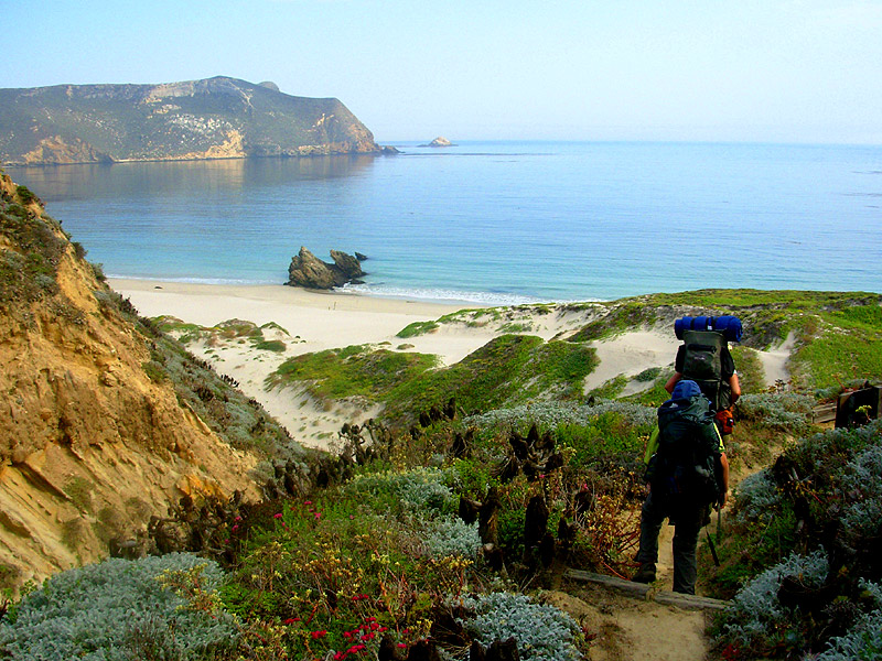
Paved and fully accessible for all visitors, the nearly flat trail is an engaging experience for all ages. On this memorable nature trail view creeks and fences that were rearranged by the 1906 quake.
And Earthquake Trail is more than an earth science lesson. The path also offers a friendly intro to the parkland’s meadow and woodland communities. Even the most time-pressed tourist will enjoy walking the trail.
DIRECTIONS TO EARTHQUAKE TRAIL:
Bear Valley Visitor Center is located just outside the town of Olema, 35 slow and curving miles north of San Francisco on Highway 1. A quicker route is by Highway 101, exiting on Sir Francis Drake Boulevard, and traveling 20 miles to Olema. Turn right on Coast Highway 1, proceed 0.1 mile, then turn left on Bear Valley Road, which leads 0.4 mile to parking for the Point Reyes National Seashore Visitor Center. Earthquake Trail begins at the southeast corner of the Bear Valley Picnic Area, right across the road from the Bear Valley Visitor Center.
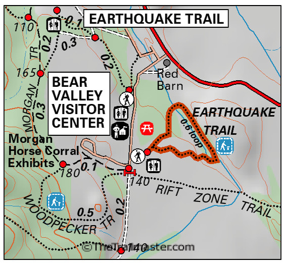
Point Reyes – Earthquake Trail by TomHarrisonMaps.com (click to enlarge)
THE HIKE
Study the interpretive panel of the San Andreas Fault in relief and walk into the meadow. Earthquake Trail soon forks: arrows on the pavement suggest you bear left (east).
View photos of the San Francisco Earthquake and follow the trail amidst tangles of blackberry to an oak woodland and crosses a bridge over a branch of Olema Creek.
The path curves south and passes more interpretive panels. Be sure to read the story of the cow caught in…well, I won’t spoil the colorful tale. Suffice it to say that it’s the best-known urban legend—rural legend, really—of Point Reyes.
And finally, make sure you walk the short side trail to inspect a 16-foot break in the old fence line; this is the showstopper, a memorable illustration of the power of the quake of 1906 and quakes to come.
Interested in more hikes in Point Reyes National Seashore? Check out HIKE Point Reyes