Professor Thaddeus Sobieski Coulincourt Lowe’s Echo Mountain Resort area can be visited not only by retracing the tracks of his “Railway to the Clouds” (See Mt. Lowe Railway hike), but also by way of a fine urban edge trail that ascends from the outskirts of Altadena.
From Pasadena, visitors rode a trolley up Rubio Canyon, where a pavilion and hotel were located. Then they boarded the “airships” of the great cable incline, which carried them 3,000 feet (gaining 1,300 feet) straight up to the Echo Mountain Re¬sort Area. “Breathtaking” and “hair-raising” were the most frequent descriptions of ride that thrilled tourists from the 1890s to the 1930s. Atop Echo Mountain was a hotel and observatory.
This historic hike visits the ruins of the one-time “White City” atop Echo Mountain. From the steps of the old Echo Mountain House are great clear-day views of the megalopolis.
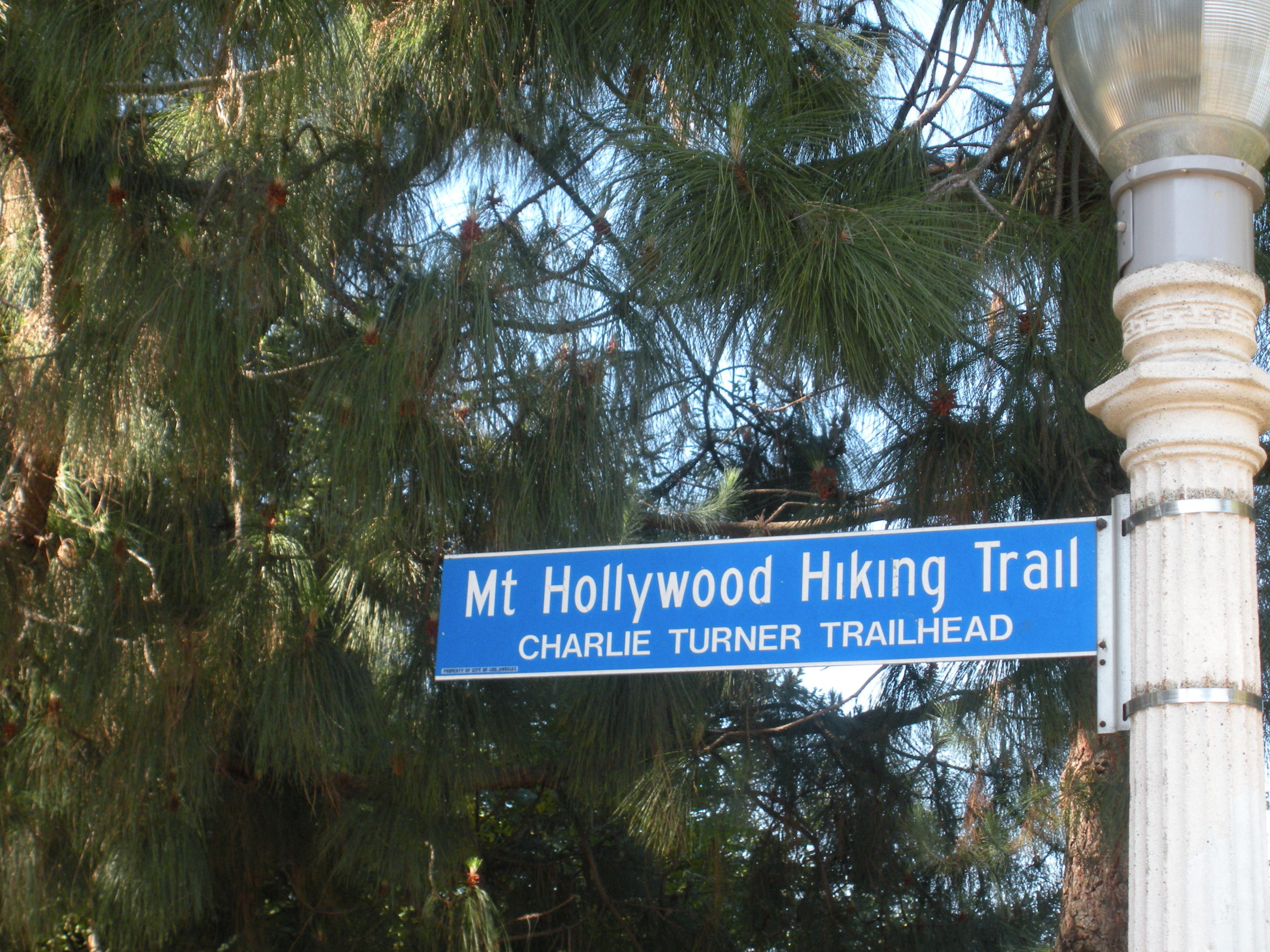
Pasadena and Altadena citizens have been proud to share their fascination with the front range of the San Gabriels. This pride has extend¬ed to the trails ascending from these municipalities into the mountains. Local citizens, under the auspices of the Forest Conservation Club, built a trail from the outskirts of Altadena to Echo Mountain during the 1930s. During the next decade, retired Los Angeles Superior Court clerk Samuel Merrill overhauled and maintained the path. When Merrill died in 1948, the trail was named for him.
Sam Merrill Trail begins at the former Cobb Estate, now a part of Angeles National Forest. A plaque placed by the Altadena Historical Society dedicates the estate ground as “a quiet place for people and wildlife forever.”
DIRECTIONS:
From the Foothill Freeway (210) in Pasadena, exit on Lake Avenue and travel north 3.5 miles to its end at Loma Alta Drive. Park along Lake Avenue.
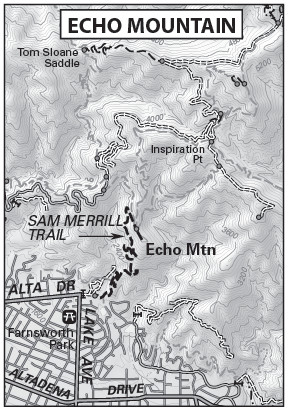
Echo Mountain Map by TomHarrisonMaps.com (click to enlarge)
THE HIKE:
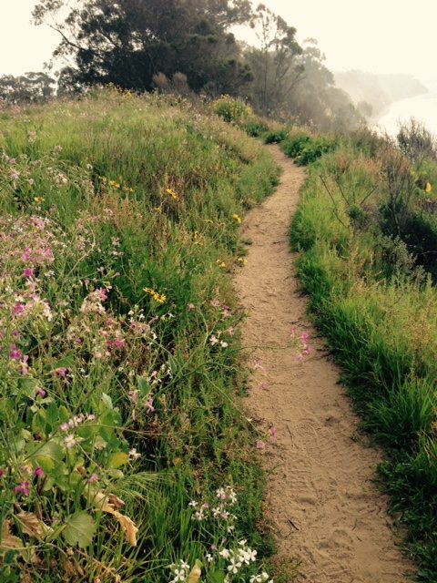
From the great iron gate of the old Cobb Estate, follow the trail along the chain-link fence. The path dips into Las Flores Canyon, crosses a seasonal creek in the canyon bottom, and begins to climb. With the earnest, but well-graded ascent, enjoy good vistas of the San Gabriel Valley and downtown Los Angeles.
After 2.6 miles of, steep and mostly shadeless travel, arrive at a signed junction with Mt. Lowe Railway Trail (see hike description). Bear right and walk 100 yards along the bed of the old Mt. Lowe Railway to the Echo Mountain ruins. Just before the ruins is a very welcome drinking fountain.
Up top, spot the railway’s huge bull wheel, now embedded in cement, and just below a pile of concrete rubble, all that remains of the railway depot. The steps and foundation of the Echo Mountain House are great places to take a break and enjoy the view straight down precipitous Rubio Canyon, the route of Lowe’s railway.
Echo Mountain takes its name from the echo that supposedly bounces around the semicircle of mountain walls. You can try shouting into the strategically placed “megaphone” to get an echo but perhaps even echoes fade with time.
Interested in more hikes in the San Gabriel Mountains? Check out my “Hike the San Gabriel Mountains Pocket Guide” at The Trailmaster Store