Eaton Canyon Trail:
round trip with 200-foot gain
Late one August afternoon in 1877, John Muir set out from Pasadena to begin his exploration of the San Gabriel Mountains. The great naturalist was very impressed with Eaton Falls, as he wrote in his book, The Mountains of California: “It is a charming little thing, with a low, sweet voice, singing like a bird, as it pours from a notch in a short ledge, some thirty-five or forty feet into a round mirror-pool.”
Judge Benjamin Eaton channeled and piped the canyon’s waters to nearby ranches. The judge’s neighbors laughed when he planted grapevines, but the vines were quite successful and commanded a high price. Soon many other San Gabriel Valley farmers planted vineyards.
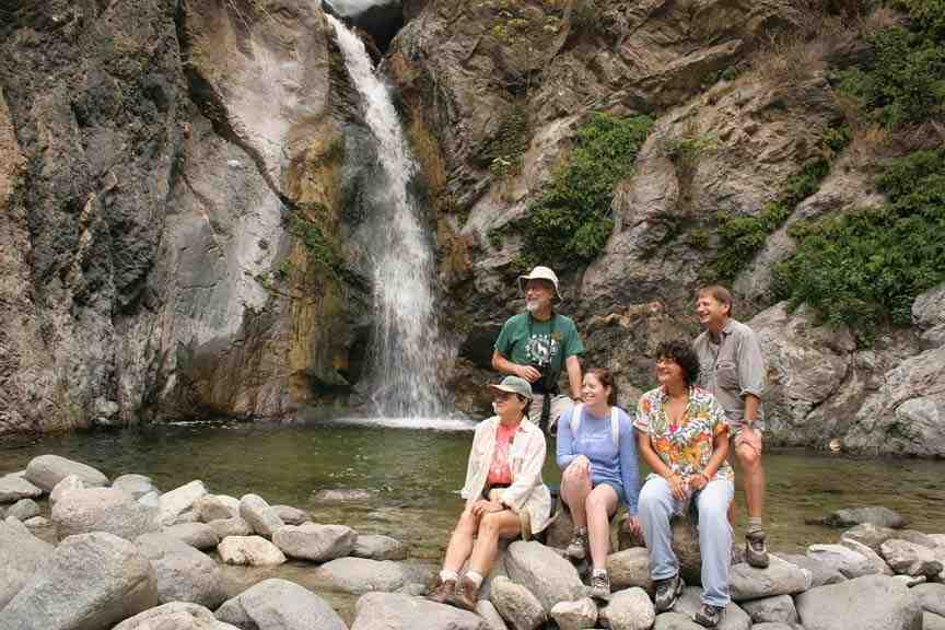
Eaton Canyon Falls is a splendid little hike; getting to the upper falls, though, can be treacherous.
Much of the canyon named for Judge Eaton is now part of Eaton Canyon Natural Area. The park’s nature center has exhibits that emphasize Southern California flora and fauna. Nature trails explore a variety of native plant communities—chaparral, coastal sage, and oak-sycamore woodland.
Eaton Canyon is a busy place on weekends. Family nature walks are conducted by docent naturalists; the park also has birdwalks, natural history classes and children’s programs.
The walk up Eaton Canyon to the falls is an easy one, suitable for the whole family. Eaton Canyon Trail leads through a wide wash along the east side of the canyon to a junction with Mt. Wilson Toll Road; ambitious hikers can join the road for a steep ascent of Mt. Wilson.
DIRECTIONS:
From the Foothill Freeway (210) in Pasadena, exit on Altadena Drive. Proceed north 1.7 miles to the signed entrance of Eaton Canyon County Park. Turn right into the park and leave your car in the large lot near the nature center.
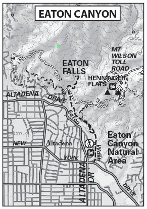
Eaton Canyon Map by TomHarrisonMaps.com (click to enlarge)
THE HIKE:
From the parking lot, hike through the attractive grounds of the nature center. Cross the creek, then meander beneath the boughs of large oak trees and pass a junction with a connector trail that leads to the Mt. Wilson Toll Road.
The trail leads along the wide arroyo. Eaton Canyon has been widened considerably by repeated floods that have washed away canyon walls floods and spread alluvium, or water-transported sand and rock, across the canyon floor. It takes a hearty group of drought-resistant plants to survive in this soil. Notice the steepness of the canyon’s walls. Early Spanish settlers called the canyon “El Precipio.”
After a mile’s travel from the nature center, reach the Mt. Wilson Toll Road bridge. A right turn on the toll road will take you on a long, steep ascent to the top of Mt. Wilson. A left turn on Mt. Wilson Toll Road leads a very short distance to the unsigned junction with Altadena Crest Trail. Walking 0.5 mile on Altadena Crest Trail to a vista point rewards the hiker with great clear-day views of the Los Angeles Basin.
To reach Eaton Falls, continue straight up Eaton Canyon wash. Rock-hop across the creek several times as you walk to trail’s end at the falls. (Don’t climb the falls; people have recently been injured and killed doing this.)
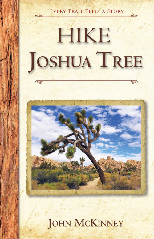
Interested in more hikes in the San Gabriel Mountains? Check out my guide: HIKE the San Gabriel Mountains