
Three state parks where the crowds thin and the magic remains
After fifty years of driving Highway 1 through Big Sur, I’ve learned a simple truth: the places with the biggest crowds are not always the places with the biggest rewards.
That’s fortunate, because Big Sur is having a moment. After three years of repair and reconstruction following a pair of landslides, Highway 1 in Big Sur is fully open. Drivers are returning in record numbers. Northbound traffic past Ragged Point, the southern gateway to Big Sur, has risen an astonishing 900 percent year-over-year.
Which raises an obvious question: Where do you go when everyone else seems to be going in the same place?
I love Highway 1, too—and driven it: ever-so-slowly in a V.W. camper, way-too-quickly in a modified BMW, at a good-parent-pace in an SUV loaded with kids, coolers, and camping gear. Over the years I’ve discovered that some of Big Sur’s best experiences lie just beyond the traffic jams, crowded pullouts, and Instagram hotspots.
When visitors ask me where to find the Big Sur that first captured my imagination, these are the three state parks I recommend:
- Garrapata offers Big Sur in its purest form: a rugged ridge, a redwood canyon, and some of the finest coastal views anywhere.
- Andrew Molera is the complete Big Sur experience—river, meadow, beach, bluffs, redwoods, and mountains all stitched together in a single hike.
- And Limekiln tells one of my favorite Big Sur stories, where industry nearly destroyed a canyon and nature slowly reclaimed it.
So yes, expect traffic. Expect crowded viewpoints. And if you’re determined to get that classic Bixby Bridge photo, expect company.
But if you’d rather experience Big Sur than simply photograph it, and take the path less traveled, start with these three parks.
Andrew Molera State Park
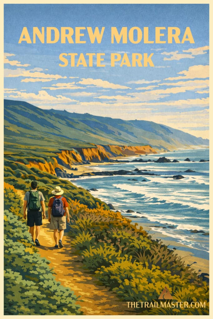
Mountains, meadows, and the mouth of the Big Sur River are highlights of Andrew Molera State Park, the largest state park on the Big Sur coast. More than 20 miles of trail weave through the park’s 4,500 acres, offering hikers a remarkable variety of landscapes and experiences.
If some Big Sur parks feel like dramatic overlooks connected by trails, Andrew Molera feels like a landscape meant to be wandered. It is broader, wilder, and more open than many of its neighbors. Here the Santa Lucia Mountains don’t simply plunge into the sea; they unfold gradually through meadows, river corridors, oak woodlands, redwood groves, and marine terraces before finally arriving at the Pacific.
For many visitors, the park means a quick stroll to Molera Beach and the broad lagoon where the Big Sur River meets the ocean. My favorite route (a 9-mile loop) circles the park’s western side. It begins with a small adventure—crossing the Big Sur River. Depending on the season, that crossing may be a casual splash through ankle-deep water or a refreshing reminder that hiking sometimes involves getting your feet wet. Consider it an initiation.
Beyond the river lies a constantly changing landscape. Creamery Meadow glows green in winter and spring. Wildflowers color the hillsides—California poppies, lupine, paintbrush, and mustard among them. Deer graze the grasslands. Red-tailed hawks patrol overhead. Turkey vultures drift effortlessly on coastal thermals.
Then come the bluffs.
Hidden beaches lie far below. Sea otters float in kelp beds offshore. During migration seasons, gray whales and humpbacks may be visible beyond the breakers. Every bend reveals another postcard view—rocky coves, crashing surf, and ridges fading southward into the blue haze of Big Sur.
The climb up Panorama Trail and Pfeiffer Ridge provides the hike’s grand finale. Suddenly you’re high above the coast, looking both north and south across one of California’s most celebrated landscapes. The views are immense, but what makes this hike memorable is the variety. River, meadow, woodland, redwoods, bluffs, beach, and mountain—all in a single day.
Garrapata State Park
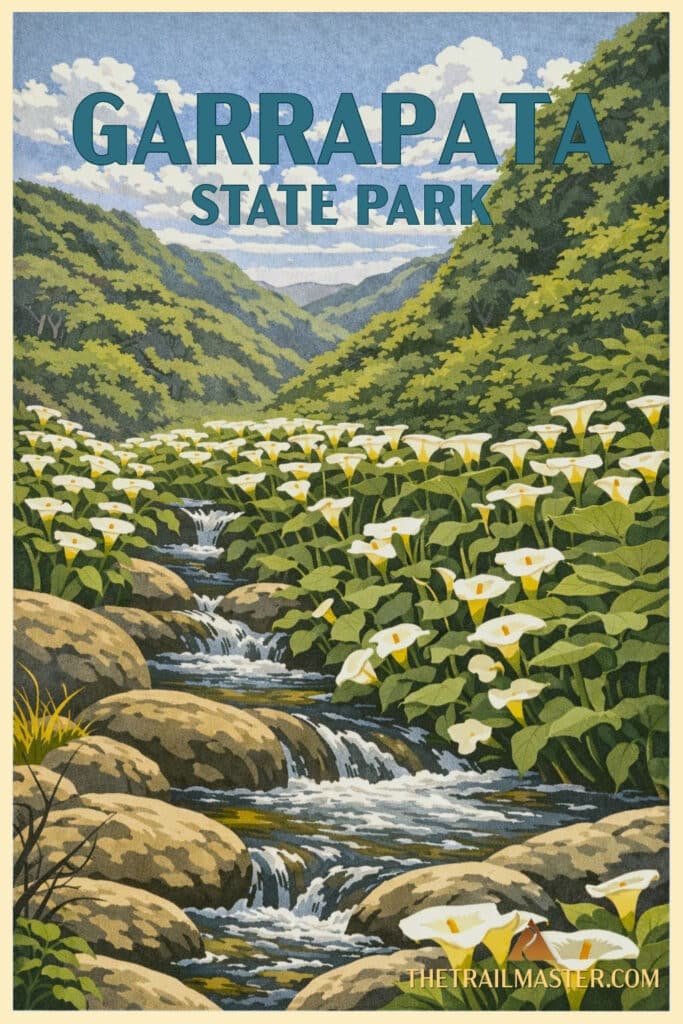
Garrapata is Big Sur stripped down to its essence. No lodge, no campgrounds, no gift shop peddling logo mugs—just a rugged slice of coastline, a redwood canyon, and a trail that dares you to climb high, look far, and breathe deep. For many travelers barreling down Highway 1, Garrapata is the blink-and-you’ll-miss-it stretch of wild coast where the Pacific hammers sheer cliffs and fog drifts up canyon walls. For those who stop and lace up hiking boots, it’s a revelation.
The park takes its name from the Spanish word for “tick,” but don’t let that scare you off (though, yes, check your socks). The real story of Garrapata is written in its landscapes: surf exploding against Soberanes Point, grassy ridges speckled with lupine and yarrow, deep redwood forest hushed by ferns and shaded by ancient trunks. In a compact parcel of 2,900 acres, you get a sampler platter of Big Sur at its rawest.
The 7-mile hike through Garrapata is a tale of two worlds. Rocky Ridge Trail doesn’t believe in easing you in; it charges uphill almost immediately, switchbacks be damned. The reward? Views that open like stage curtains: Soberanes Point and the restless Pacific below, the forested canyon behind, and, on a clear day, the serrated crest of the Santa Lucias marching inland. If you’re hiking in spring, the slopes are alive with wildflowers—bush lupine, sticky monkeyflower, golden yarrow—and alive with hikers pausing for breath.
Once you’ve tested your legs on the ridge, the descent delivers you into an entirely different mood. Soberanes Canyon is the antidote to the ridge’s exposure, a cool, shady redwood grove where a creek trickles under ferns, blackberry tangles across the path, and Douglas iris dots the understory. It feels enclosed, safe, timeless—the sort of place where you half expect a hermit’s cabin or a deer stepping silently across the trail. For many families, the canyon alone is enough—a short out-and-back under the redwoods.
But for those who take on the full loop, Garrapata is a study in contrasts. Cliffs and canyons, dry ridges and damp groves, history etched into the land and raw nature overwhelming it all. It may not be the most famous of Big Sur’s state parks, but Garrapata holds its own kind of majesty. Stop the car, shoulder the pack, and see what you’ve been missing.
Limekiln State Park
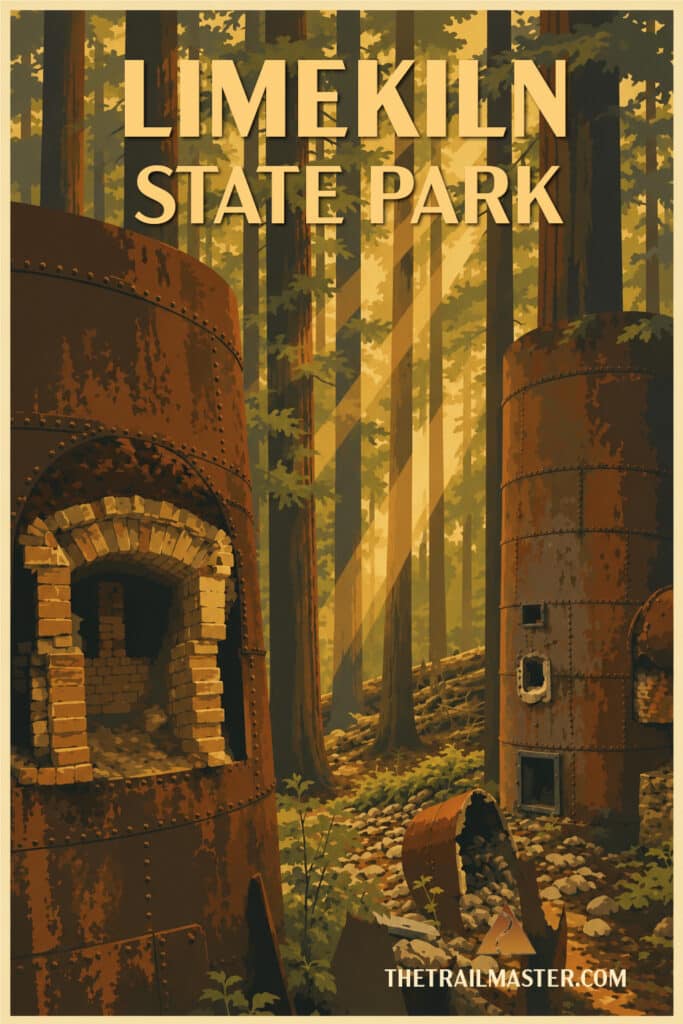
In the 1870s, entrepreneurs looked at this lovely coastal canyon and saw not beauty but… building materials.
They quarried the limestone cliffs, chopped down the surrounding redwoods, and stuffed the trees into giant wood-fired kilns to make lime for cement. Entire groves of majestic redwoods—gone up in smoke, literally, to build sidewalks and basements in Monterey and San Francisco. It’s enough to make you wish the conservation movement had shown up fifty years earlier with a few clipboards and petitions.
The operation was short-lived, but not before the canyon took a beating. Then nature, patient as ever, went about the long, slow work of healing. Fast-forward 150 years: today the kilns remain like ghostly chimneys, half-swallowed by forest, and the canyon is once again cool, green, and redwood-shaded. Some of these redwoods, the southernmost in Monterey County, are downright magnificent—healthy, enormous, and maybe, just maybe, a distinct subspecies adapted to these steep coastal canyons.
It almost didn’t turn out this way. In 1984, a private landowner wanted to log the canyon again. Conservationists, the Big Sur Land Trust, and a chorus of locals fought back and saved the place. By 1995, Limekiln State Park was born. The campground is rustic, even funky, with its own Big Sur charm. Showers and clean restrooms, helpful camp hosts, and a sandy beach where Limekiln Creek meets the Pacific—all the ingredients for a mellow stay.
Walk the trail for a mile or so and you’ll hear the creek tumbling over pools, pass through cathedral groves of redwoods, and arrive at the kilns—four towering, moss-coated cylinders where stone met fire, where industry and wilderness clashed, and where, happily, wilderness is now winning.