Every Trail Tells a Story

Montara Mountain
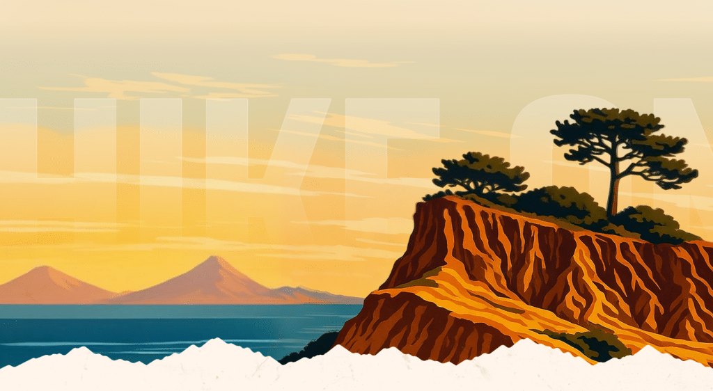
Wildflower-studded climb to one of the Bay Area’s grandest coastal panoramas
A preserved mountain saved from the fate of becoming a freeway
Sweeping views in every direction: Pacific, San Francisco, Half Moon Bay, Mt. Diablo, even the Farallons
On a clear day, Montara Mountain may be the single best view perch on the San Mateo coast. From its 1,898-foot summit, you can take in Half Moon Bay curving southward, the San Francisco skyline to the north, Mt. Tamalpais across the Golden Gate, and on the rarest crystal-clear days, even Mt. Diablo gleaming far inland. And if you swivel west? The endless blue sweep of the Pacific, broken only by the Farallon Islands. Not bad for a mountain that most people just drive past on Highway 1 without a second thought.
Geologists say Montara is a 90-million-year-old chunk of granite, mostly quartz diorite, thrust up as part of the northern end of the Santa Cruz Mountains. Hikers, less concerned with mineral content, just know it as a leg-burner of a climb and one of the Bay Area’s best “bang-for-the-buck” panoramic hikes.
Spring is prime time. North Peak Access Road, the wide dirt fire road to the summit, becomes a flower parade: blue ceanothus, golden poppies, Indian paintbrush, lupine, and a scattershot of other blossoms. In the right light, it looks like the mountain is wearing a wildflower shawl.
There’s a bit of local lore here, too. For decades Caltrans eyed Montara Mountain as the “solution” to Devil’s Slide-the notorious stretch of Highway 1 that kept slumping into the sea south of Pacifica. Their plan? Blast a multi-lane freeway right across the mountain’s flanks. Environmentalists fought tooth and nail, hikers joined the protests, and eventually the bypass plan was scrapped in favor of today’s Devil’s Slide Tunnel. The mountain, and its vistas, were saved. Instead of asphalt, we got trail dust. A win for hikers everywhere.
Montara’s flanks are now preserved as part of McNee Ranch State Park and Rancho Corral de Tierra (GGNRA), a patchwork of public lands that knit together to protect one of the last undeveloped coastal ridges this close to San Francisco.
From Pacifica, drive 6 miles south on Highway 1 (or from Montara, about 0.5 mile north). Look for a small dirt lot at the signed entry to McNee Ranch State Park. If the lot is full, park at Montara State Beach or along the shoulder north or south of the trailhead.
Signed North Peak Access Road begins along Martini Creek, shaded by cypress. You’ll share the early stretch with hikers joining from Gray Whale Cove Trail and other cut-throughs. After a quarter mile, the road bends north past a ranger’s residence, still in the company of cypress groves, their branches glowing gold in the morning light.
The climb gets serious as you leave the trees and tackle the mountain’s broad, open shoulders. Old San Pedro Mountain Road branches left, but stay on the main Access Road as it twists higher. Around the three-mile mark you intersect Montara Mountain Trail-pause here for your first sweeping views north toward San Francisco.
The final push southeast brings you to the summit of North Peak, crowned with a weather station and microwave towers. The structures are forgettable, but the view is anything but: Pacific horizon, San Mateo coast, Mt. Diablo, Mt. Tam, and on fog-free days, the Farallon Islands floating like ghosts offshore.
Take a long look. This is a view worth earning. “,Wildflower-studded climb to one of the Bay Area’s grandest coastal panoramas