Every Trail Tells a Story

Marin Headlands
Wildest backcountry in the Marin Headlands
Sweeping raptor-filled skies, wildflowers, and ridgeline views
A conservation victory turned hiking paradise
Just a mile back from the coast, northeast of Rodeo Valley, lies a land that many hikers adjudge to be GGNRA’s wildest. Lovely Gerbode Valley, named for Marin Headlands preservationist Martha Gerbode, is the centerpiece of the park’s backcountry.
Standing in Gerbode Valley today, it’s hard to imagine that in the mid-1960s bulldozers were poised to cut this land into streets and suburbs. Developers dreamed of building a city for 18,000 residents-complete with shopping centers and freeways-right here in this sweeping bowl of grassland. Conservationists had other ideas, and thanks to their efforts the land passed from military to National Park Service administration. The dream of a “New City by the Bay” fizzled, and a wilder, better dream prevailed: open space for all.
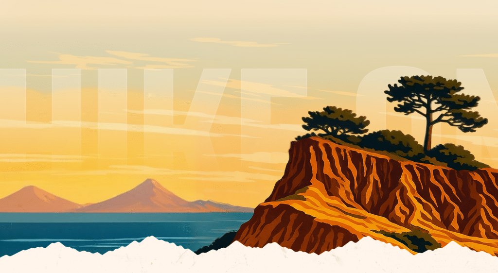
The Marin Headlands backcountry is the park’s beating wild heart. From the valley floor, golden grasslands stretch to the ridges, where wind-carved slopes give way to coastal scrub and patches of coyote brush. In spring, wildflowers flare: poppies, lupine, and owl’s clover splash color across the hillsides. The valley is also prime raptor country. During fall migration, hawks by the hundreds spiral overhead, catching thermals as they prepare to cross the Golden Gate. Turkey vultures float lazily above, while ravens ride the wind with acrobatic flair.
Keep your eyes peeled for four-footed residents, too. Black-tailed deer browse the meadows, coyotes slink along the ridges, and bobcats sometimes prowl the margins of the valley. This is also prime habitat for the endangered mission blue butterfly, which relies on lupine species found here.
From the ridgetops above Gerbode Valley, the hiker is treated to views that stretch in all directions: Mt. Tamalpais presiding over the north, the towers of the Golden Gate Bridge rising to the south, and on a clear day, the faint shimmer of the Farallon Islands far out at sea. It’s a reminder that this valley isn’t just a pocket of open space-it’s the keystone of a larger wildland network that makes the Bay Area such an extraordinary place to hike.
And while many visitors stick to the coast or the bridge overlooks, the Gerbode loop on Bobcat and Miwok trails rewards those willing to step into the heart of the Headlands. Here the Marin Headlands reveal their true character: wild, windblown, alive with history and nature, and saved-thankfully-for us all.
From Highway 101 northbound, just north of the Golden Gate Bridge, exit on Alexander Avenue. Head north 0.2 mile, turn left on Bunker Road and soon reach a stoplight at the mouth of a one-way-at-a-time tunnel. About 2.5 miles from the highway, look for the signed trailhead and limited parking on the right. (Continue 0.2 mile to the turnoff to Marin Headlands Visitor Center and more parking.)
Hike north on the dirt path, cross over a creek on a bridge and reach a junction with Miwok Trail, a dirt road. Continue straight ahead at the next junction (where Bobcat Trail takes off to the right).
Begin a shade-less, mile-long ascent to the eastern end of Wolf Ridge. Enjoy vistas of Mt. Tam and the Pacific Ocean and pass junctions with Wolf Ridge Trail and Old Springs Trail.
Next step toward a scene out of an old science fiction flick: a white space capsule-like metal cone pointed skyward from the 1,041-foot high point on the ridge between Gerbode and Tennessee valleys. Vortac is a FAA directional homing device for aircraft.
Descend to a junction, part company with Miwok Trail, and join east-trending Bobcat Trail. Pass junctions with Marinello Trail and several unmarked dirt roads. Three miles out, intersect the road leading to Hawk Camp, a primitive and waterless walk-in camp.
Pass more connector trails leading to Alta and Rodeo Valley trails as Bobcat Trail swings south, makes a mellow descent into Gerbode Valley and offers views of Highway 101, Sausalito and Richardson Bay. Traverse a eucalyptus woodland, cross a creek and rejoin Miwok Trail for the return to the trailhead.