Every Trail Tells a Story


Fort Ord Dunes State Park
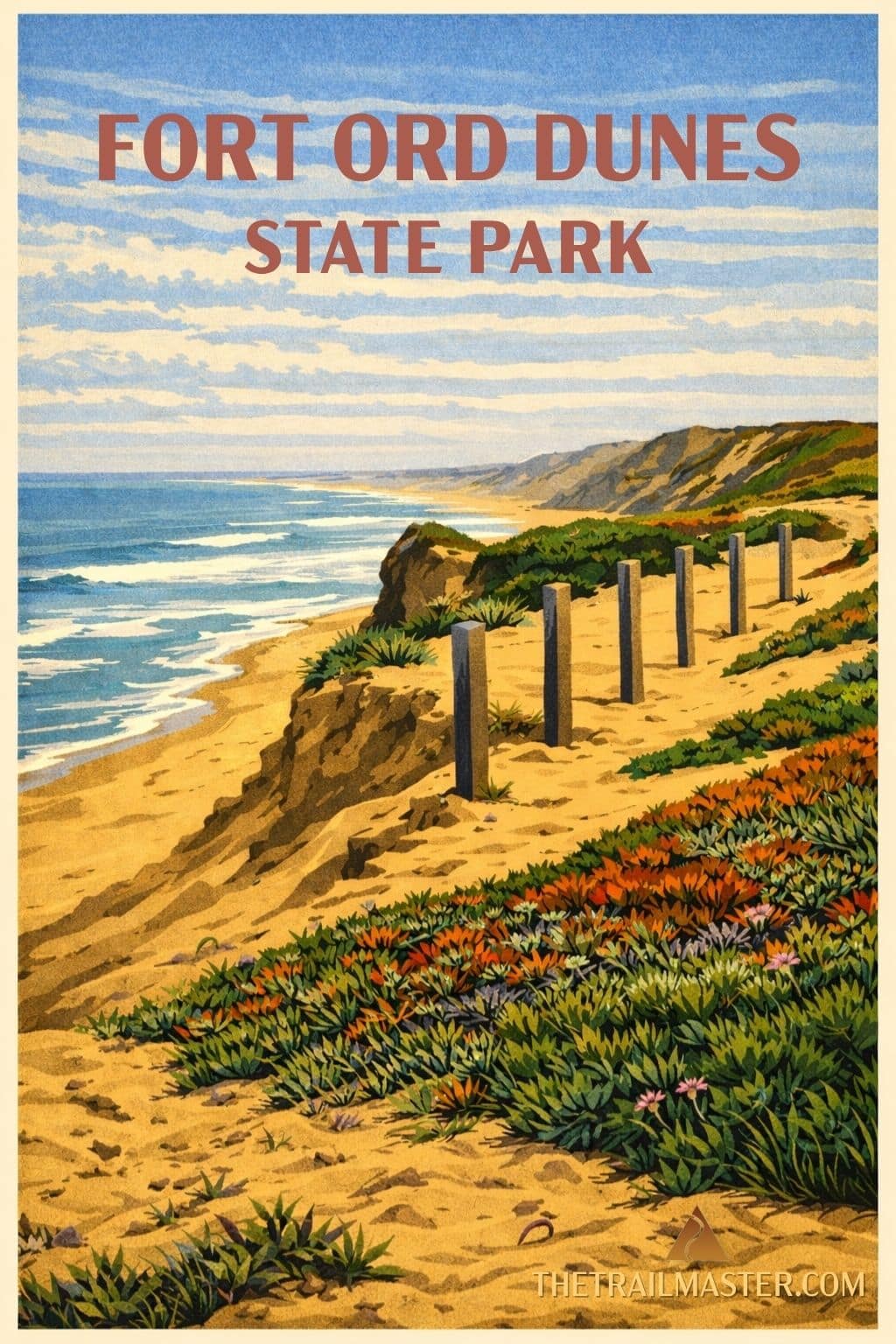
Walk dunes once rattled by rifle fire, now claimed by butterflies and beach walkers
Take in sweeping views from a blufftop platform over the vast Monterey Bay National Marine Sanctuary
Blend natural beauty with military history on a unique coastal loop you won’t find anywhere else
From rifle range to refuge-now that’s a California comeback story. For nearly a century, this stretch of Monterey Bay was off-limits to civilians, patrolled by MPs and pocked with artillery shells. Back when I was writing a book in Monterey (long before the state park existed), a few fellow hikers and I used to sneak into the dunes. Fabulous wild country… though in hindsight, maybe not the brightest move given the unexploded ordnance beneath our boots.
The Army first set up shop here in 1917, calling it Camp Gigling. The name changed to Fort Ord as the years and wars rolled by. The dunes hosted 15 rifle ranges, tank maneuvers, and a whole lot of practice in how to make sand fly. By 1994, the fort was decommissioned, leaving behind bunkers, barbed wire, and mountains of lead-tainted sand. Cleanup crews hauled away 700,000 pounds of spent ammunition and rubble before turning the land over to California State Parks.
When the gates finally opened in 2009, the place had transformed into something marvelous: a living, shifting landscape of sand dunes, bluffs, and four miles of beach, now protected for rare wildlife like Smith’s blue butterfly and the California tiger salamander. President Obama even extended protection further in 2012 by declaring the adjoining uplands the Fort Ord National Monument.
But don’t mistake “dunes” for “timeless.” This coast is literally on the move. Waves gnaw away at the bluffs five to eight feet every year. Stand on the blufftop platform overlooking the Monterey Bay National Marine Sanctuary-an ocean preserve bigger than Yosemite-and you’ll see why. The Pacific pounds with a force that makes even retired Army ranges look like child’s play.
The dunes aren’t just scenic-they’re scrappy. They’re fighting a pitched battle against invasive iceplant, a mat of South African succulent that smothers everything in sight. Rangers and volunteers keep pulling it up, giving native buckwheat, sage, and goldenbush a fighting chance.
Visitors today can explore by looping the paved Monterey Bay Sanctuary Scenic Trail (say that five times fast) with a long beach walk. Along the way you’ll pass remnants of military history-like old ammo bunkers and a tower once used for Firing Range 8, the busiest range in the fort’s heyday. Now, instead of soldiers sighting targets, you’ll find joggers, birdwatchers, and folks just trying to keep sand out of their shoes.
The main parking lot for Fort Ord Dunes State Park is located on Beach Range Rd, Marina, CA 93933.
From the lot, note the spur trail that will bring you back later, then join the signed beach access path. The sandy track tunnels through the dunes and out to the wide, slanted beach. Turn south and stride along the surf for about a mile. Look inland for another signed access path and follow it up through the dunes past a relic ammo bunker.
The path leads you onto an old service road. Hike inland 0.75 mile to meet the paved Monterey Bay Sanctuary Scenic Trail. Turn north, walking toward Marina. Pause at the old firing-range tower for the view (and maybe to imagine the sound of Army drill sergeants echoing in the wind). Soon you’ll reach a spur leading back to the parking lot.