Every Trail Tells a Story

Andrew Molera State Park
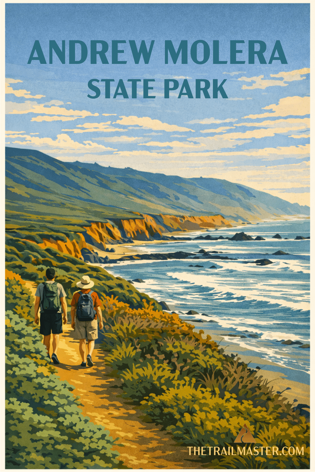
Mountains, meadows, and the mouth of Big Sur River are highlights of Andrew Molera State Park, largest state park along the Big Sur coast. More than 20 miles of trail weave through the 4,500-acre park, which has a diversity of ecosystems and variety of trails.
In 1855, fur trader Juan Bautista Roger Cooper acquired this land, formerly part of the Mexican land grant Rancho El Sur. Grandson Andrew Molera, who inherited the ranch, had a successful dairy operation. His Monterey Jack cheese was particularly prized.
The most popular hike in the park is an easy 2-mile roundtrip jaunt to Molera Beach and a shallow lagoon at the mouth of the Big Sur River. Take Beach Trail to the shore then loop back via Creamery Meadow Trail.
If you’re seeking a longer, even epic, adventure, I heartily recommend a long loop around the wild west side of the park. A hike to remember for sure with a diversity of landscapes and seascapes: river crossing, redwood groves, oak woodland, dramatic coastal bluffs, grand overlooks, and hidden beaches. You’ll meander a relatively flat marine terrace for a couple miles then ascend Pfeiffer Ridge for far-reaching panoramas of the Big Sur coastline.
(Heads up: this hike begins with wading across the Big Sur River.)
From the parking lot, walk down the wide road to signed River Trail and a crossing of the Big Sur River. At a trail fork on the other side, stay left on River Trail. At a second junction, River Trail bends left but you’ll take Creamery Meadow Trail 0.75 mile along the edge of a meadow to intersect left-branching Ridge Trail. Take this path, heading briefly up the ridge to yet another junction.
Bear right on signed Bluffs Trail and head out over (no surprise!) the bluffs. Several spur trails lead to overlooks at the edge of the cliffs. You’ll pass a couple steep ravines and reach a junction with Spring Trail on your right. A bench offers a fine place to rest and take in the scenery. (Spring Trail drops steeply down a ravine and after climbing over a large pile of logs, you’ll reach a handsome pocket beach.)
Continue south, now on Panorama Trail, which ascends Pfeiffer Ridge, serving up views of Pacific Valley and points south. At the summit of the ridge and fenced southern boundary of the park and, at the 4.5-mile mark (halfway point) of this hike, you’ll find a bench amidst cypress trees, perfect for a rest stop.
Descend north on signed Ridge Trail to more level ground and tall redwoods. Tree-lovers will be further delighted by the gnarly oaks nearby. Continue along Pfeiffer Ridge, passing junctions with South Boundary Trail and Hidden Trail. When you reach Creamery Meadow Trail, retrace your steps back to the trailhead.
Andrew Molera State Park is located just off Highway 1, some 21 miles south of Carmel.