
Climb Southern California’s iconic trio of alpine summits.
The “power of three” is a familiar principle in art, architecture, photography, and design. Odd-numbered groupings—especially trios—simply seem to satisfy the eye in a way pairs rarely do.
I’ve always thought the same thing about mountains.
Southern California has three truly dominant summits, each rising above one of the region’s three great mountain ranges: Mt. San Gorgonio (11,503 feet), Mt. San Jacinto (10,834 feet), and Mt. San Antonio (10,064 feet), better known to almost everyone as Mt. Baldy.
Together they form an iconic trio of alpine summits known as The Three Saints.
Each is a magnificent hike in its own right. Together they become something more: Southern California’s ultimate alpine hiking experience. What makes the trio so irresistible is that from the summit—or even the upper slopes—of each Saint you can look across the landscape and see the other two waiting in the distance.
Each has its own personality. Mt. Baldy is Los Angeles County’s high point. San Gorgonio is the rooftop of Southern California. And San Jacinto, with its astonishing 10,000-foot rise above the Coachella Valley, boasts one of the greatest topographic escarpments in America.
They all answer to nicknames. “Mt. Baldy” has so completely replaced “Mt. San Antonio” that many hikers have no idea the mountain even has a saint’s name. Once in a while you’ll hear San Gorgonio affectionately called “Old Grayback,” while locals shorten San Jacinto to simply “San Jack.”
The tales of the mountains’ namesake saints range from the glorious to the grisly. Hikers can appreciate San Antonio of Padua, the 13th-century Portuguese friar universally invoked as the patron saint of lost articles and missing travelers. If you lose the trail, he’s the saint to call upon. Another 13th-century holy man, St. Hyacinth (San Jacinto in Spanish), hiked thousands of miles across northern Europe spreading the faith.
As for Gorgonio…Gorgonius, a high-ranking officer in the imperial palace of Roman Emperor Diocletian (circa 300AD), proved remarkably successful at converting his fellow officers to Christianity. When his evangelizing was discovered, the furious emperor ordered Gorgonius whipped, salt and vinegar poured into his wounds, bound to a burning gridiron, and finally strangled. Suddenly that long climb up Sky High Trail doesn’t seem quite so difficult…
If you’re looking for one of Southern California’s most memorable hiking challenges, don’t climb just one Saint. Climb all three. You can tackle them on three consecutive days if you’re feeling ambitious. I prefer three successive Saturdays—or better yet, three Wednesdays, when you’ll find a little more solitude along with all that elevation. However you choose to do it, you’ll cover roughly 36 miles and climb more than 14,000 vertical feet.
That’s a challenge worthy of the Saints.
Stand atop any one of the Three Saints and your eyes will naturally wander to the other two. The view has a way of turning one mountain into three.
Mt. Baldy
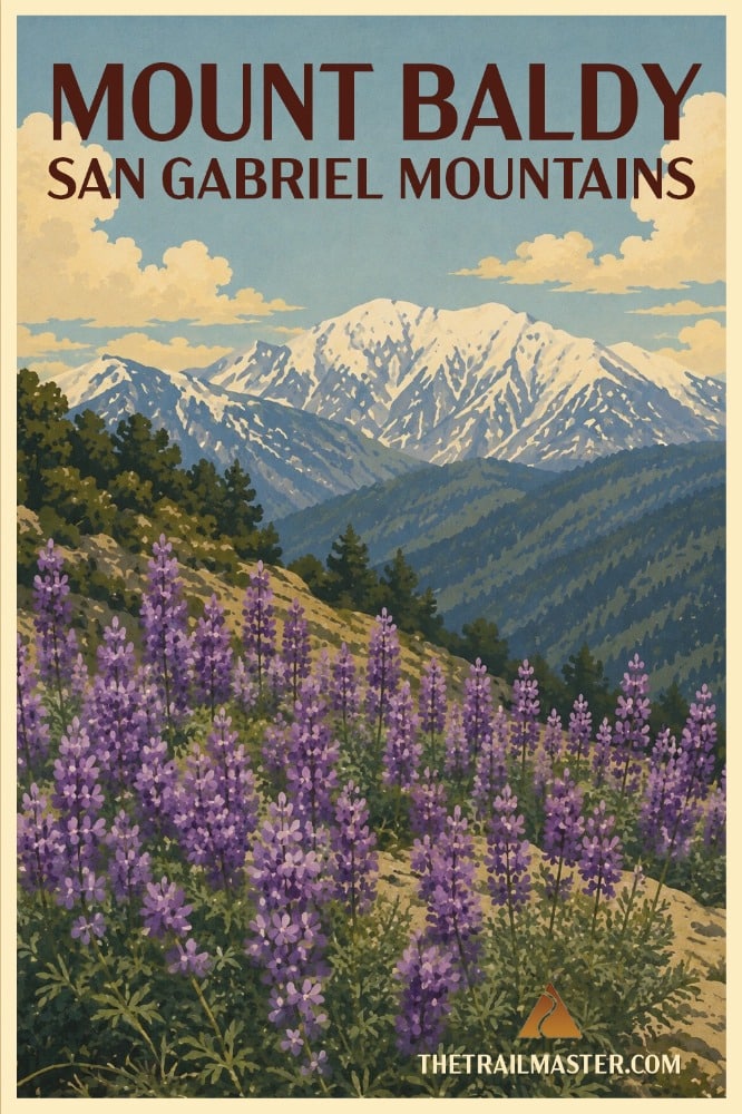
Mt. San Antonio—forever known as Baldy—rises head and shoulders above its neighbors, gleaming white in winter, washed in granite gray in summer, always unmistakable to the millions who spot it from freeways, beaches, and backyards across the region. If you’ve lived here long enough, Baldy has waved at you from the skyline—and sooner or later, you’ll feel the tug to climb it.
For generations Baldy has been Southern California’s proving ground. Scouts, Sierra Club hikers, and aspiring mountaineers have sweated their way to the summit, calling it training for Whitney or Shasta. The truth is, Baldy is challenge enough. The hike (6.4 miles round trip with ski lift head start) has become a rite of passage all its own.
The most famous way up is the Devil’s Backbone Trail—a name both dramatic and accurate. This sharp ridge delivers breathtaking panoramas but comes with narrow exposure and the occasional howling wind. One misstep and you’re tumbling into San Antonio Canyon on one side or Lytle Creek on the other. On a calm summer day, it’s exhilarating; in winter storms or icy conditions it can be dangerous, even deadly. The mountain has seen rescues, tragedies, and triumphs. The Trailmaster’s advice: don’t underestimate Baldy just because it’s close to the city.
Though austere from afar, up close the mountain holds surprises. Forested lower slopes shelter Jeffrey pine, fir, and incense cedar. Near the crown, wind-bowed limber pines cling to rocky soil, their twisted trunks a testament to centuries of alpine survival. From the summit you can gaze across the Mojave Desert, out to Catalina Island, and across to its two sisters—San Gorgonio and San Jacinto.
Mt. San Jacinto
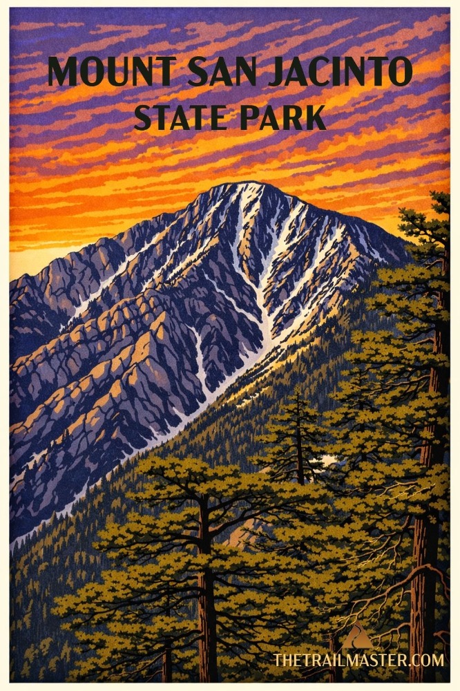
Riding the Palm Springs Aerial Tramway is like boarding a time-traveling, climate-shifting elevator. One moment you’re in the hot breath of Chino Canyon surrounded by palms and brittlebush; twelve minutes later you’re stepping into 8,500 feet of alpine air, the scent of pine needles crisp and clean enough to make a hiker weep with gratitude.
The tram whisks you up one of the steepest escarpments in North America, rising more than a vertical mile and setting you down on the edge of Mt. San Jacinto State Park and Wilderness. It remains one of the great entrances to any mountain world—truly the express lane to the high country.
Mt. San Jacinto can feel welcoming one day and wonderfully wild the next. Lodgepole pines cling to fractured granite while Steller’s jays flash through the forest overhead.
Once you step off at Mountain Station, you’re already halfway to heaven. (The other half of the journey requires an 11-mile round-trip hike with 2,300 feet of gain.) You wander through quiet forests and cool meadows before climbing steadily toward one of the most commanding viewpoints in the West.
Boulder-hop to the summit and savor what John Muir declared “the most sublime spectacle… on this earth.” On a good day, you can take in the Pacific Ocean, deserts shimmering far to the east, the skeletal spread of the Inland Empire far below—and sister peaks San Gorgonio and San Antonio.
Mt. San Gorgonio
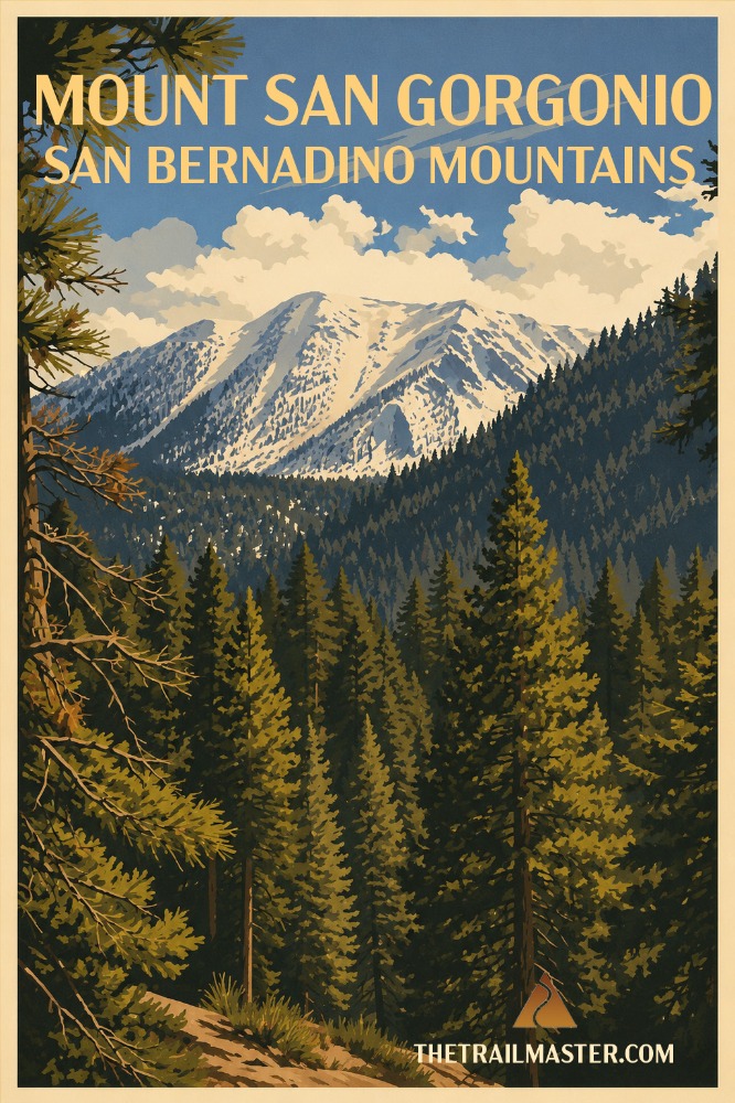
San Gorgonio’s broad, rounded summit crowns a surprisingly alpine world. From the South Fork Trailhead you climb through mixed conifer forest, lush meadows, lodgepole and limber pine, and finally the wind-scoured crest. Buttercups and paintbrush brighten the meadows, while twisted limber pines endure snow, lightning, and relentless wind. Mule deer browse the openings, bighorn sheep haunt the higher cirques, and golden eagles ride the thermals overhead.
Expect burn scars and reroutes, but the mountain’s spirit remains unchanged: a long climb through forest and meadow, past Dry Lake and Dollar Lake, to a broad summit where ocean, desert, and city seem to share the same horizon.
Of the half-dozen major trails leading through the San Gorgonio Wilderness to the summit, the oldest—and often regarded as the best—is the Vivian Creek Trail (18 miles round trip with 5,300-foot gain). It’s my favorite: the shortest route to the top and unquestionably the steepest.
The reward is a 360-degree panorama stretching from the Mexican border to the southern Sierra, from the Pacific Ocean to the far reaches of the Mojave Desert.
Stand atop San Gorgonio and you’ll find yourself looking toward San Jacinto and Baldy. Somehow, the view has a way of turning one mountain into three.