Every Trail Tells a Story

Soberanes Point
John McKinney · The Trailmaster
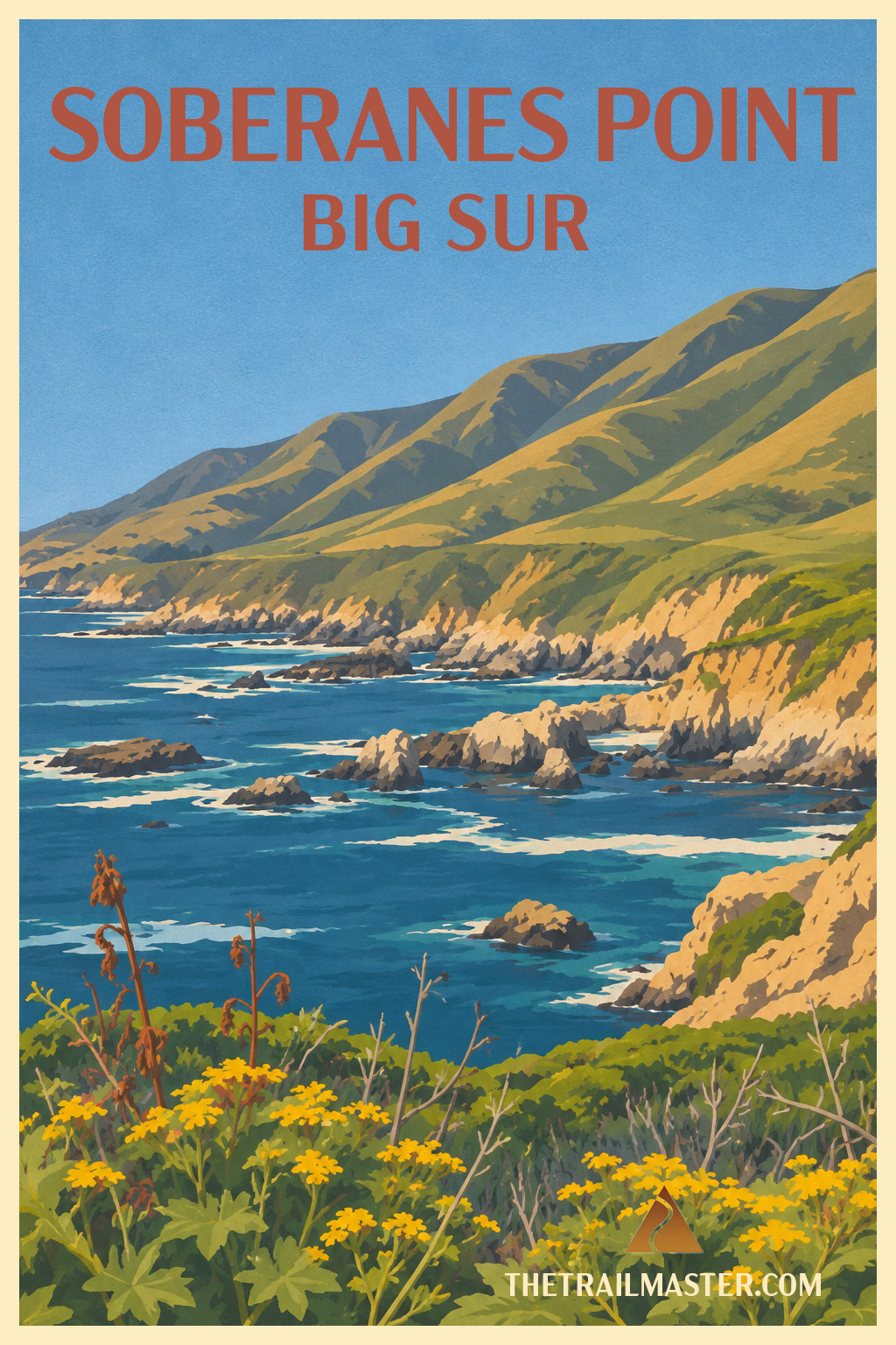
Big Sur in miniature—and you can walk the whole show before lunch.
Whale Peak: 280 feet of climbing, a hundred miles of attitude.
Sea stacks, wildflowers, otters and whales packed into 1.8 miles.
I’ve stopped to walk Soberanes Point with friends and family perhaps half a dozen times over the last 45 years. Nobody has ever complained that I should have driven on to somewhere more spectacular.
That’s saying something on the Big Sur coast.
Soberanes Point doesn’t have a famous waterfall, celebrated beach or redwood grove. What it has is an unusually concentrated dose of Big Sur: bold headlands, narrow inlets, sea caves, offshore stacks, wildflowers, restless surf and, rising modestly above it all, the twin humps of 280-foot Whale Peak. The whole show fits into a loop of less than two miles.
The trail quickly leaves Highway 1 behind and wanders onto the headland, where the land has been fractured into coves and rocky promontories. Garrapata’s geology is a jumble of marine sandstone, shale, volcanic rock and chert, all of it close enough to major faults to keep things geologically lively. Waves do the daily carving, hollowing caves and separating offshore rocks from the mainland.
Spring adds color to the drama. Native bluff scrub includes buckwheat, mock heather and lizard tail, joined by California sagebrush, sticky monkeyflower and other coastal plants. Introduced ice plant has also claimed plenty of territory. The low vegetation keeps the views wide open, which is exactly what you want here.
Offshore, the Monterey Bay National Marine Sanctuary provides another reason to slow down. Sea otters work the kelp beds, sea lions and harbor seals frequent the rocky coast, and gray whales pass during their annual migration. I’ve always thought Whale Peak rather grandly named for a 280-foot bump, but when a whale spouts offshore while you’re standing on top, the name suddenly seems perfectly reasonable.
Soberanes Point carries a little human history, too. In the 19th century this was ranch country. Ezequiel Soberanes operated a prosperous cattle and sheep ranch here for 24 years, and his musical family became known for entertaining and offering hospitality to ranchers traveling the coast toward Monterey. The property later became part of the Doud Ranch; California began acquiring the land in 1980, and Garrapata became a state park in 1985.
Whale Peak supplies the walk’s modest bit of climbing and its immodest reward. From the twin summits, the coastline unfurls north toward Yankee Point and south toward Point Sur. On a clear day, it’s one of those views that makes a short walk feel much larger than its mileage.
Maybe that’s why I’ve kept stopping here over the decades. Soberanes Point asks for little time and delivers a remarkable amount of coast. On Highway 1, that’s a pretty good bargain.
Garrapata State Park is on Highway 1, about 6.7 miles south of Rio Road in Carmel. For Soberanes Point, use the signed/numbered coastal access at Gates 8, 9 or 10 on the ocean side of Highway 1. Parking is in roadside turnouts; use particular caution pulling off and reentering Highway 1.
From the coastal access, follow the trail west toward Soberanes Point and loop around the headland above rocky coves, sea caves and offshore stacks. Take the short spur up 280-foot Whale Peak, where the twin summits open sweeping views north toward Yankee Point and south toward Point Sur. Descend to rejoin the coastal loop and follow it back toward Highway 1. The open bluffs make this an especially rewarding walk during spring wildflower season and winter gray-whale migration.