Every Trail Tells a Story

Point Buchon
John McKinney · The Trailmaster
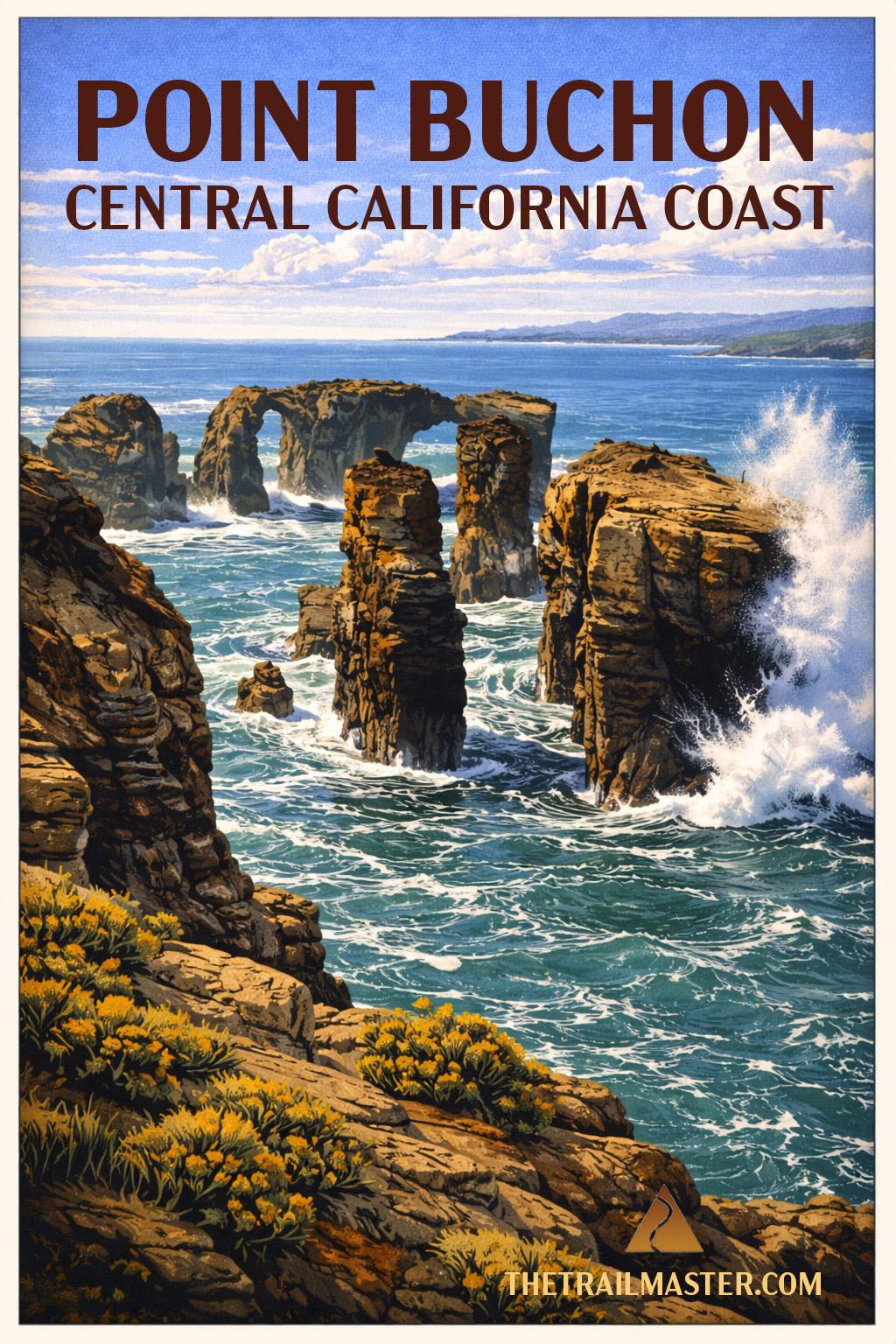
Drop-dead gorgeous coast hiding beyond Montaña de Oro.
Limited access makes this hike feel deliciously exclusive.
Sea stacks, whales and a nuclear power plant. Seriously.
Panoramic vistas from Point Buchon include drop-dead gorgeous headlands, wildflower-strewn bluffs, sea stacks, sea caves and…Diablo Canyon Nuclear Power Plant.
Yes, you read that right. One of California’s most pristine coastal walks is in close proximity to a nuclear facility. Only on the Central Coast do you get this particular pairing: pelicans gliding past sandstone cliffs while, just down the shoreline, engineers monitor reactors designed to keep the lights on from San Luis Obispo to Silicon Valley. Nature and megawatts, side by side.
This rare opportunity to hike PG&E-owned Diablo Canyon lands reveals a portion of 14 miles of coastline that have remained remarkably untouched. No subdivisions, no marinas—just wind, waves, and a landscape that looks much as it did centuries ago. Inland, coastal prairie rolls into oak woodland and pockets of bishop pine, a reminder that this is a meeting place of ecosystems as well as tectonic plates.
The point itself takes its name—somewhat contentiously—from a Chumash leader. Spanish explorers, never shy about creative interpretation, rendered the name “Buchon,” possibly referencing a “goiter” or possibly just getting it wrong. Either way, the land long predates the name, and Chumash presence lingers in the quiet dignity of the place.
Brown pelicans skim the surf in tight formation. Harbor seals and sea otters bob in the kelp beds below. In migration season, gray whales pass just offshore, their blows visible from the bluffs. Red-tailed hawks and kestrels patrol overhead, riding the same coastal winds that may, along this trail, test your balance and your hat.
The trail itself feels like a cousin to Montaña de Oro’s Bluff Trail—same drama, fewer people, more sense that you’ve stumbled into something semi-secret. That’s partly by design. Access is limited (Thursday–Monday, reservations required at the trailhead), and the daily cap keeps things blissfully uncrowded.
And yes, you’ll sign a waiver before heading out. Cliffs, surf, uneven terrain—fair enough. Nuclear meltdown not included. Probably.
Minimal elevation gain makes this an approachable adventure, but don’t mistake “easy” for ordinary. This is the kind of hike where you stop often, not because you’re tired, but because the coastline keeps insisting you look again.
From Highway 101 in San Luis Obispo, take Los Osos Valley Road west for 11 miles. It becomes Pecho Valley Road—continue south through Montaña de Oro State Park for about 5 more miles to the Coon Creek Trailhead. Arrive early on weekends—trail access is limited to 275 hikers per day (Thursday–Monday, 8 a.m.–3:30 p.m.). Sign-in and waiver required at the trailhead.
Walk 0.25 mile up the paved road, cross the bridge over Coon Creek, and check in at the Point Buchon trail station. From here, head west toward the coast on a wide, gently rolling path.
Early on, a spur drops to the beach at Coon Creek—tempting, but save your energy. Instead, follow the main trail to a dramatic collapsed sea cave (“sink hole”), where waves boom and churn below your feet.
Beyond, the coastline unfolds in a parade of rock formations—sea stacks, arches, and offshore islets. At Point Buchon Lookout, pause for wildlife watching—pelicans, otters, maybe a passing whale.
Continue to Windy Point (about 2.6 miles), where the full sweep of coast meets a clear view of Diablo Canyon. This is a fine turnaround for most hikers. Purists can continue another 0.8 mile downhill to trail’s end before retracing their steps.