Every Trail Tells a Story

Moss Landing & Zmudowski State Beaches
John McKinney · The Trailmaster
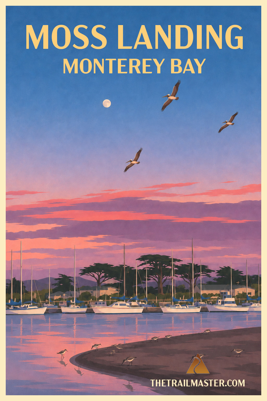
Meet Zmudowski. Learn to pronounce it.
Walk from working waterfront to wide-open beach.
Follow the sand all the way to the county line.
Moss Landing State Beach has long suffered from a rather imposing neighbor.
You know the one. For decades, the great twin stacks of the Moss Landing power plant rose 500 feet above Monterey Bay, making it difficult to persuade anyone that they’d arrived at an idyllic stretch of the California coast. Add a busy commercial harbor and Moss Landing has always looked more like a place where California goes to work than where it goes to the beach.
I’ve always rather liked that about it. Moss Landing is a working waterfront, home to fishing boats and pleasure craft, scientists and surfers, sea otters and sea lions. Elkhorn Slough empties into Monterey Bay here, bringing an extraordinary concentration of marine and bird life into a setting that doesn’t require everything human-made to disappear before nature can flourish.
Walk north and the human presence gradually recedes. Moss Landing State Beach occupies a narrow strip between the Pacific and Bennett Slough, with dunes rising inland and a long sweep of hard-packed sand ahead. Surfers work the waves, anglers work the shore and horseback riders occasionally add hoofprints to the usual collection of footprints.
Keep walking and you arrive at one of the more obscure units in the entire California State Park system: Zmudowski State Beach.
First things first. It’s pronounced mud-OW-ski. The Z is silent. The beach honors Watsonville schoolteacher Mary Zmudowski, who donated the property to California in the 1950s. The state beach protects dunes, broad shoreline and part of the Pajaro River estuary, valuable habitat for shorebirds and other wildlife.
Zmudowski feels far removed from the power plant and harbor you left behind. Dunes back the wide beach, and beyond them stretch the agricultural fields of the Pajaro Valley. Continue north and the shoreline finally reaches the mouth of the Pajaro River, which marks the Monterey–Santa Cruz county line.
This isn’t one of those California coast walks where every bend produces another postcard. Its appeal is quieter: a long beach, birds working the surf line, dunes between ocean and farmland, and enough open sand to settle into a good walking rhythm.
Besides, any hike that introduces me to a state beach called Zmudowski has already taught me something. Including how to pronounce it.
For Moss Landing State Beach, take Jetty Road west from Highway 1 to the beach access near Moss Landing Harbor.
From Moss Landing, follow the hard-packed beach north with dunes on your right and Monterey Bay on your left. After about 1.3 miles reach Zmudowski State Beach and continue along its broad shoreline. For the shorter walk, turn around here. For a longer adventure, continue north as views open across dunes toward Pajaro Valley farmland. The beach eventually reaches the mouth of the Pajaro River at the Monterey–Santa Cruz county line, about 3.1 miles from your start. Return the way you came.