Every Trail Tells a Story

Morro Bay Sand Spit
John McKinney · The Trailmaster
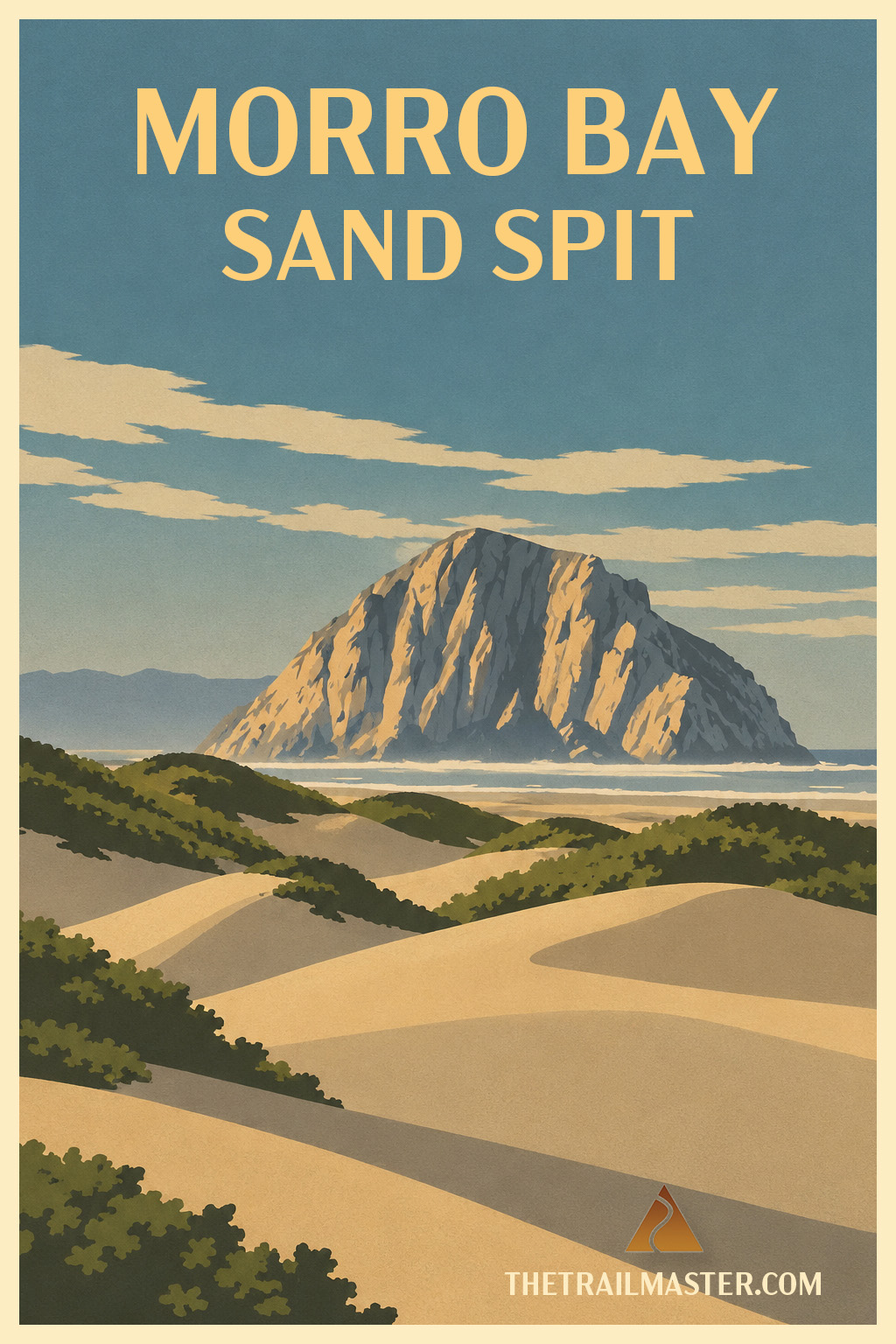
Calm Morro Bay on one side, turbulent Pacific on the other.
Paddle across the bay, beach the kayak and go exploring.
Or take the long way: hike the sand spit from south to north.
Morro Bay is made possible by a long, narrow sand spit—one of Central California’s special environments. On one side lies the protected bay and estuary; on the other, the open Pacific. Between them rises a three-mile ribbon of dunes and sandy ridges where you can walk with two entirely different coasts practically within shouting distance.
This hike travels the length of the remote peninsula from the northern reaches of Montaña de Oro State Park across the spit to Morro Dunes Natural Preserve. Climb one of the higher dunes—some rise about 80 feet above sea level—and the geography comes wonderfully into focus: Morro Bay on one side, Estero Bay on the other, Morro Rock anchoring the view north and the Santa Lucia Mountains rising beyond.
Life on the spit has adapted to wind, salt and shifting sand. Heather, salt grass and coyote bush hold their ground while silver lupine, sea rocket and evening primrose add seasonal color. Along the muddy bay shore, willets, curlews and sandpipers probe for lunch. Beneath the surface is an even busier world. The Morro Bay estuary, lined with eelgrass and pickleweed, provides spawning and nursery habitat for fish, while oysters, clams, worms, snails, crabs and shrimp occupy the mud and shallows.
I’ve enjoyed exploring the sand spit from north to south as well, though getting there used to be considerably easier.
Once upon a time, the Clam Taxi ferried passengers from the Morro Bay waterfront across the bay in a six-person skiff. Most customers were locals armed with clam forks and gunny sacks, bound for the sand spit in pursuit of Pismo clams. When the clams grew scarce, the enterprising Clam Taxi became the Bay Taxi and began delivering birders and hikers instead.
Alas, the taxi is long gone, and there’s no aqueous Uber.
For many years, my favorite solution was to rent kayaks with my family along the Morro Bay waterfront, paddle across the bay, haul the boats onto the sand and set off for a hike and picnic. Often we had the place to ourselves—aside from the birds. It’s still my favorite way to experience the spit because the paddle makes the outing feel like a small expedition rather than a walk from a parking lot.
The land-only approach begins from Montaña de Oro and has pleasures of its own. Trails cross scrub-dotted dunes to the Pacific, where hard-packed sand makes for easy walking. Climb back onto the higher dunes and the Morros march inland—those ancient volcanic plugs culminating in Morro Rock—with the Santa Lucias rising behind them. Along the way you’ll also encounter shell middens, protected archaeological sites recording the long presence of Chumash people who prospered beside this extraordinarily productive bay.
But don’t spend the whole hike admiring the scenery from atop the dunes. Drop down and sample both shores. Walk beside the quiet bay, then cross the spit and listen to the Pacific pounding the beach. A few minutes and a couple of dunes separate them.
That’s the charm of the Morro Bay Sand Spit. Two very different worlds, one narrow ribbon of sand—and, with a little legwork or a paddle across the bay, plenty of room to find your own piece of both.
In Los Osos, follow Los Osos Valley Road west about 3 miles to Sand Spit Road. Turn right and continue about 0.5 mile to the parking area at road’s end.
Walk west past the information boards and across the scrub-dotted dunes, descending about 0.25 mile to the Pacific. Turn north and follow the hard-packed beach, often scattered with shells and sand dollars. Periodically climb the dunes for views across the spit to Morro Bay, Morro Rock, the Morros and Santa Lucia Mountains. Treat the Chumash shell middens with care; they are protected archaeological sites.
About four miles out, reach the first breakwater protecting the bay entrance. For another 1.5 miles, continue along the Pacific to the second breakwater, turn east toward Morro Bay, then follow the bay shore before crossing the dunes back to the ocean. Retrace your route to the trailhead.