Every Trail Tells a Story

Monterey Bay Coastal Recreation Trail
John McKinney · The Trailmaster
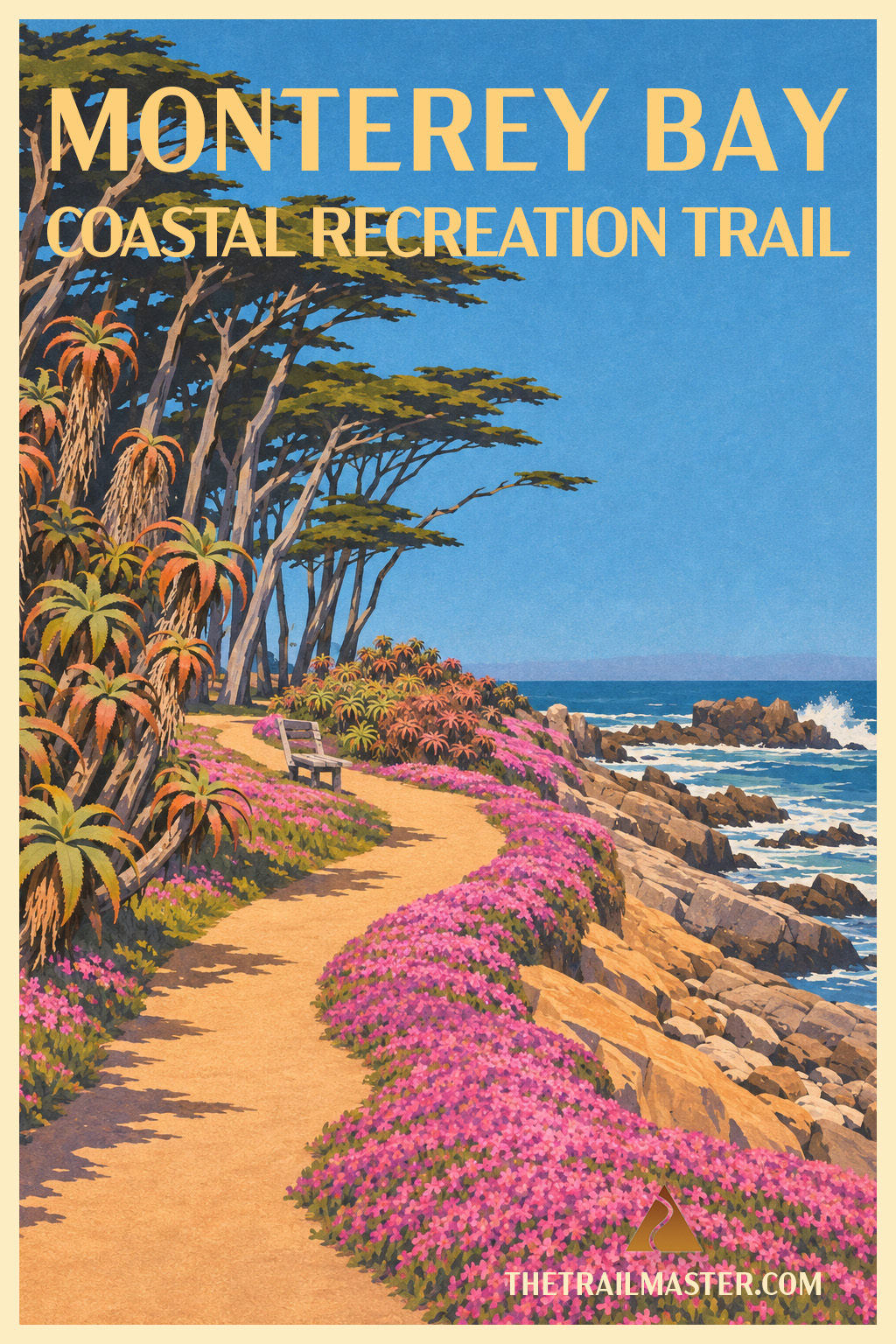
Walk from Cannery Row to the open Pacific.
The Aquarium has walls. Monterey Bay doesn’t.
Lovers Point earns both its name and the view.
Long before there was a Monterey Bay Aquarium, I lived a few blocks from Cannery Row and was trying to become a nature writer.
I had some successes, accumulated my share of rejection slips, and spent a lot of time doing what aspiring writers do particularly well—wondering whether I would ever make a living at it.
So I walked.
I walked Cannery Row and the Monterey waterfront, then followed the shore through Pacific Grove, past Lovers Point and out toward Point Pinos. Somewhere along those long coastal rambles, an audacious thought began to take hold: Could I walk the entire California coast?
At the time, I didn’t know that question would help shape much of my writing life.
The waterfront I walked then was still emerging from Cannery Row’s industrial past. Today the Monterey Bay Aquarium occupies the old Hovden Cannery site, celebrating the underwater world that Cannery Row once harvested so vigorously. Step outside the Aquarium and the Monterey Bay Coastal Recreation Trail follows the old Southern Pacific railroad route that once served those canneries.
Soon the bay begins supplying its own exhibits. Harbor seals lounge on the protected beach beside Hopkins Marine Station, and sea otters work the kelp beds offshore. I’ve always admired the otter approach to life: float on your back, eat well and let everybody else worry about productivity.
The trail carries you into Pacific Grove, past Victorian homes and wind-shaped cypress to Lovers Point, a rocky granite promontory thrust into the southern sweep of Monterey Bay. The name has long encouraged intimate moments—particularly around sunset—but romance isn’t required to appreciate the view. Climb onto the rocks, wander the grassy park or descend to one of the small beaches tucked around the point. This is a place worth lingering.
Beyond Lovers Point, the walk changes character. The protected bay gradually gives way to a more exposed coast. The path winds through Perkins Park beside rocky coves, pocket beaches and tidepools. In spring, carpets of pink ice plant brighten the shoreline; at low tide, sea stars, anemones and hermit crabs occupy rocky pools at your feet.
Keep walking and the wind usually picks up, the shore grows rougher and Point Pinos comes into view. The lighthouse has warned mariners away from this rocky point since 1855, making it the oldest continuously operating lighthouse on the West Coast. By now the protected waters of Monterey Bay are behind you and the open Pacific stretches ahead.
Standing here still stirs something in me. When I walked this shore as a young writer, I didn’t know whether those rejection slips or occasional successes were leading anywhere. But I knew I loved walking the coast, and somewhere along these Monterey Bay rambles an audacious thought began to take hold: Could I walk the entire California coast?
Eventually I found out.
Begin near the Monterey Bay Aquarium at Cannery Row and David Avenue in Monterey.
Follow the Monterey Bay Coastal Recreation Trail west from the Aquarium, watching the kelp beds for sea otters as you enter Pacific Grove. Explore Lovers Point and its beaches, then continue along the increasingly exposed shoreline through Perkins Park, passing rocky coves and tidepools. Follow the coast around the northern tip of the Monterey Peninsula toward Point Pinos and walk slightly inland to historic Point Pinos Lighthouse. Retrace your steps for an 8-mile hike or arrange a return ride.