Every Trail Tells a Story


Millerton Lake State Recreation Area
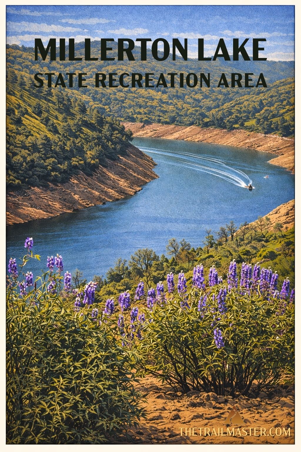
A foothill hike in the exact middle of California.
A dose of Gold Rush history, with a rescued granite courthouse to prove it.
Bird-watching, oaks, and lake views-unexpected pockets of nature in farm country
Millerton Lake may look like a wide splash of blue in the middle of California’s farm belt, but it’s more than just a watery rest stop for boaters and anglers. It’s also smack dab in the geographic middle of the Golden State. While millions of Yosemite-bound drivers speed past without a second glance, at least a million visitors a year pull in for camping, wakeboarding, fishing-and yes, even hiking.
State park rangers spice things up with seasonal programs: Gold Tours in November and March, where you can swirl a pan like a forty-niner, and Eagle Tours on winter Saturdays, when boatloads of visitors scan the skies and shorelines for bald eagles. Add in pelicans, grebes, and herons, and the bird list rivals the fishing tales.
The lake itself was born in 1944 when Friant Dam plugged the San Joaquin River canyon, drowning the old town of Millerton beneath its waters. Millerton had started as Fort Miller, a military outpost meant to suppress the local Yokut, then grew into a lively county seat complete with a courthouse. When the lake rose, preservationists dismantled the impressive granite-block courthouse and rebuilt it on higher ground, where today you can wander through the tax collector’s and sheriff’s offices like it’s still 1867.
Millerton Lake stretches 16 miles into the river canyon, narrowing to a mile near the dam and spreading three miles wide at its fattest point. Hikers looking to escape the powerboats and RVs should make for South Shore Trail, the park’s best stab at real hiking.
The South Shore of Millerton Lake State Recreation Area is located at 5290 Millerton Rd. in Friant. The park road hugs the lakeshore to Blue Oak Picnic Area, where you’ll find trailhead parking. Better yet, continue two miles farther to South Bay Picnic Area and start from there.
From South Bay Picnic Area, the trail bends east around McKenzie Point, climbing gently through grassland dotted with blue, live, and valley oaks, with the occasional scrappy digger pine. Botanists call this the Upper Sonoran Life Zone; hikers call it mellow walking.
The first stretch keeps you close to the road, but patience pays off. Past Winchell Bay, the path contours along oak woodlands and chaparral slopes with big-sky views of the lake and even a peek back at the relocated courthouse. Eventually the trail leads to the marina, which is more about boat slips and snack bars than hiking charm. Still, signs keep you oriented if you choose to continue a bit farther along the shoreline before retracing your steps.