Every Trail Tells a Story

Mattole River to Punta Gorda Lighthouse
John McKinney · The Trailmaster
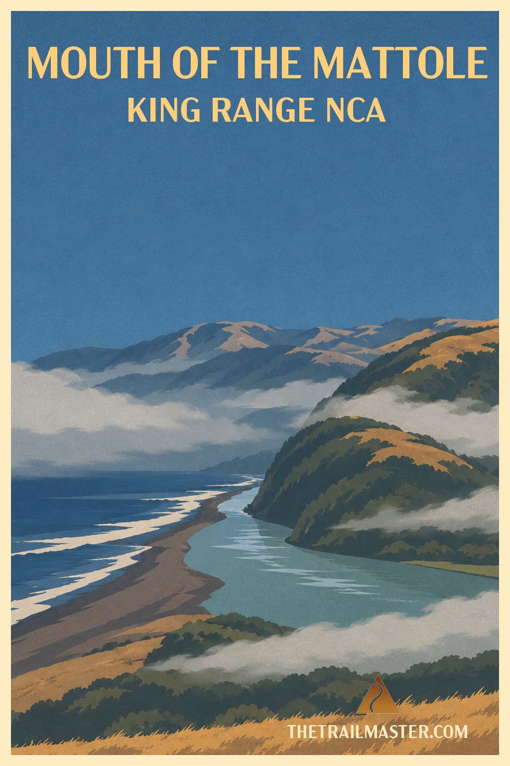
Sample the 25-mile beach walk that’s become THE Lost Coast Trail.
Where the Mattole River meets black sand and the wild Pacific.
Punta Gorda Lighthouse: small beacon, mighty big coast.
The Mattole River takes its sweet time reaching the Pacific.
After wandering through some of the wettest country in California, the river broadens and slows near its mouth, gathering itself into a tidal estuary before slipping into the sea. Gulls wheel overhead, ospreys patrol for fish and harbor seals frequent the meeting place of river and ocean. Southward, dark sand curves beneath the King Range and disappears into the distance. And these days, so do a remarkable number of backpackers.
The roughly 25-mile hike from Mattole River to Black Sands Beach has become, in the public imagination, the Lost Coast Trail. Never mind that the trail continues through Sinkyone Wilderness State Park far to the south. Backpackers now come from across California and around the country to walk this famous beach route. Some travel with commercial guides, others arrive clutching permits and carefully planned tide tables, all preparing to shoulder their packs and head south.
What a change from when I first backpacked the Lost Coast decades ago.
I remember a much lonelier coast. I’m glad people have discovered this extraordinary place, although I sometimes smile at the optimism of hikers who figure they’ll knock off ten miles of beach before lunch.
Sand has other plans.
Ten miles on a trail and ten miles on a beach are not the same ten miles. Add a heavy backpack, loose gravel, cobbles, wind and the occasional scramble away from an incoming tide, and the arithmetic gets recalculated quickly.
Fortunately, our introduction requires no expedition-sized pack.
From the Mattole, walk south along a coast that immediately feels wonderfully untamed. Low dunes behind the beach bloom with sand verbena and sea rocket in spring. Thin waterfalls spill from the steep coastal bluffs. Waves crash onto black sand while the King Range rises abruptly inland.
About two miles along, Punta Gorda pushes into the Pacific. Sea lions gather around the point, and elephant seals sometimes add their considerable bulk and bad manners to the proceedings. A mile farther stands the abandoned Punta Gorda Lighthouse.
The little concrete lighthouse seems almost comically undersized for the coast it was asked to guard. Built after a series of shipwrecks along the reefs of the King Range, its beacon warned mariners for four decades before going dark in 1951. Here, surrounded by pounding surf, seals and miles of roadless coast, its isolation makes perfect sense.
Before heading back, look south. Twenty-some miles of black-sand beach and wild coast still separate this spot from Shelter Cove. Somewhere down there, those backpackers you met at Mattole are discovering what ten miles of sand really feels like. And loving the Lost Coast anyway.
From U.S. 101, take the Ferndale exit and drive west through Ferndale, following signs toward Petrolia. Continue through Petrolia, then follow Lighthouse Road west to Mattole Campground and the Lost Coast Trailhead.
Before heading south, walk briefly north to the Mattole River mouth and explore the estuary, watching for ospreys, gulls and harbor seals. Then follow the Lost Coast Trail south along the dark-sand beach. Low dunes, spring wildflowers and small waterfalls accompany the route toward Punta Gorda, where sea lions and elephant seals frequent the shore. Continue another mile to the abandoned Punta Gorda Lighthouse.