Every Trail Tells a Story

Leo Carrillo Beach
John McKinney · The Trailmaster
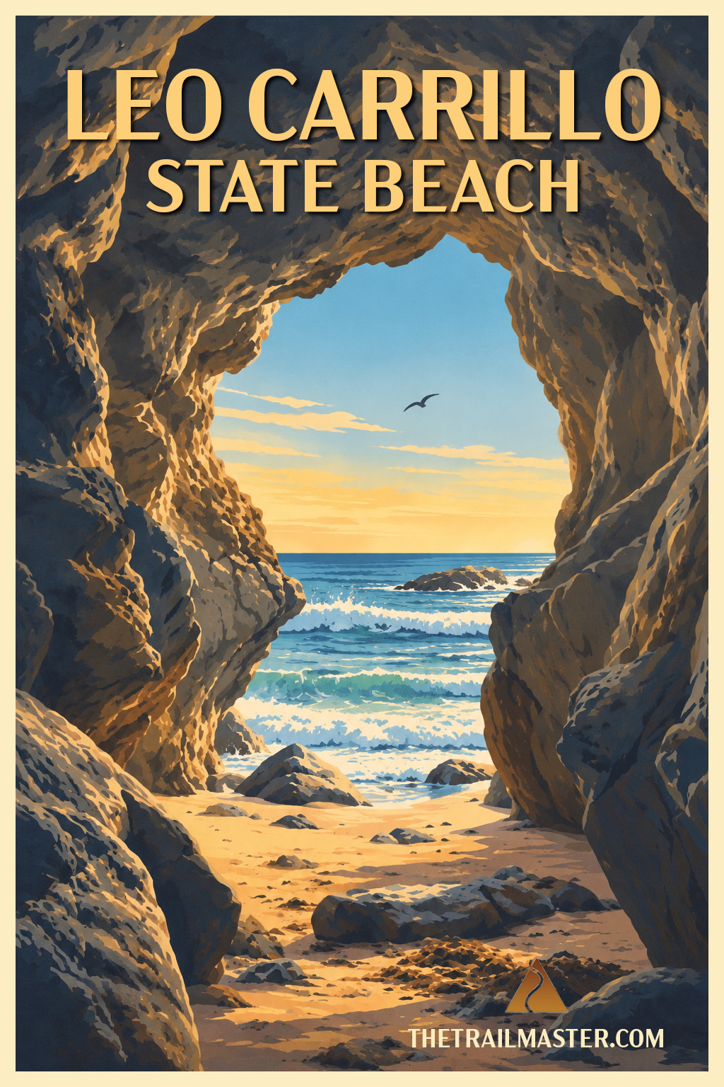
Caves, coves, tidepools—a memorable Malibu coast to wander.
Hollywood keeps coming back to Leo Carrillo. So do I.
Ascend to Nicholas Flat. Descend to the coast for sunset.
Leo Carrillo packs a remarkable amount of California coast into a relatively short walk. Head north toward the Ventura County line and the shoreline keeps changing beneath your boots. Broad sand narrows against rocky bluffs. Sequit Point divides the beach into coves. Sea caves and arches invite exploration when the tide permits. Tidepools fill the rocky shelves, kelp beds darken the water offshore and surfers wait beyond the breaks.
For a mile or two of California Coastal Trail, there’s an awful lot going on.
I’ve been walking Leo Carrillo for decades, often after hiking Nicholas Flat, one of my favorite trails in the Santa Monica Mountains just across Pacific Coast Highway. Finish there late enough in the afternoon and Leo Carrillo offers a fine encore: walk the beach and stay for sunset.
Hollywood discovered the place long ago. I’ve lost count of the movie and television crews I’ve encountered setting up along the sand. The attraction isn’t difficult to understand. Caves, rocky coves, bluffs and open beach give a camera plenty of possibilities. I watched a property crew install a few palm trees and voilà!—Leo Carrillo was transformed to a South Seas locale.
The park’s namesake knew something about Hollywood himself. Leo Carrillo became famous for playing Pancho, the Cisco Kid’s sidekick on 1950s television, but his California legacy extended well beyond the screen. He served 18 years on the California Beach and Parks Commission and helped secure the Hearst property at San Simeon for the state park system. A beach where Hollywood and conservation meet seems a fitting place to remember him.
I’ve also seen this coast in a far more sobering guise. A few days after the 2018 Woolsey Fire, I returned to Leo Carrillo. Blackened hills were sadly familiar after a major Santa Monica Mountains wildfire. What stunned me was seeing that the flames had crossed Pacific Coast Highway. They had reached all the way to the beach, torching restrooms and lifeguard towers. That image has stayed with me.
So have happier ones. At low tide, I like poking around the caves and arches at Sequit Point before continuing onto North Beach. Farther along, the sand narrows toward Staircase Beach, where surfers work the waves beneath the bluffs. Keep going and you eventually cross an invisible line from Los Angeles County into Ventura County and arrive at aptly named County Line Beach.
Leo Carrillo doesn’t need a movie crew to provide the scenery. The coast keeps changing sets all by itself. And if you’ve timed your return for late afternoon, stick around. Sunset is the final scene.
Leo Carrillo State Park is located on Pacific Coast Highway just west of the junction with Mulholland Highway, near the Los Angeles–Ventura county line. Day-use parking is available inside the state park; limited roadside parking is also available along PCH where legally permitted.
Begin at South Beach and head north toward Sequit Point. At low tide, explore the sea caves, rock arches and tidepools around the point; when surf or tide makes beach passage unsafe, use the bluff or park access trails to bypass it. Continue across broad North Beach, then follow the shore toward Staircase Beach, where the coast becomes narrower and increasingly tide-dependent.
Walk as conditions permit to County Line Beach at the Ventura County line, then retrace your route. Check tides before setting out: waves can reach the bluffs along narrower sections and temporarily block beach passage.