Every Trail Tells a Story

King Peak
John McKinney · The Trailmaster
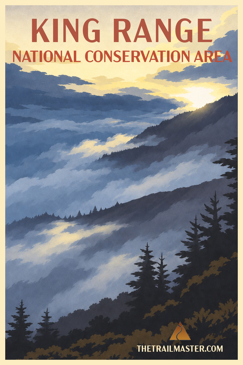
A mountain with the soul of a Pacific island, rising 4,000 feet above the sea.
The King Range defeated highway engineers. Hikers get the reward.
Stand atop the Lost Coast and find yourself a world away.
A fist of mountains thrusts straight out of the Pacific surf. That’s the King Range, one of the most extraordinary meetings of land and sea anywhere on the California coast—and a place dear to my hiker’s heart.
King Peak, at 4,088 feet the highest summit in the range, stands fewer than three miles from the ocean. From the Mattole River south toward Sinkyone Wilderness State Park, the King Range National Conservation Area protects 35 miles of rugged mountains, black-sand beaches, deep canyons and Douglas fir forests. The mountains rise so abruptly from the sea that highway engineers took one look and routed Highway 1 inland. Their surrender gave us California’s Lost Coast.
And what a glorious surrender it was.
These mountains are restless, rain-soaked and still growing. From October through April, the King Range ranks among the wettest places on the Pacific Coast. Honeydew, just north of the range, averages more than 100 inches of rain annually; in exceptionally wet years, parts of the Lost Coast may receive twice that amount. Short, vigorous creeks plunge down the western slopes, cutting canyons through unstable rock and carrying enormous quantities of sediment toward the sea.
Beneath all that greenery, tectonic forces are hard at work. The King Range is severely folded, faulted and rising as the North American and Pacific plates grind past one another. The results are spectacular, if occasionally inconvenient: towering cliffs, massive landslides and roads that seem determined to return to nature.
Humans have contributed their own damage. Heavy logging during the 1950s and 1960s stripped Douglas fir forests from steep slopes, inviting erosion and destructive mudflows. Fortunately, conservation prevailed. Congress established the King Range as the nation’s first National Conservation Area in 1970, and much of its backcountry received wilderness protection in 2006.
For hikers, the reward is an extraordinary network of wilderness trails, none more commanding than the King Crest Trail, which follows the range’s high ridges for miles. But to understand this country, I like to climb its signature summit.
The Lightning Trail begins in dense coastal forest, climbing relentlessly through old-growth Douglas fir before emerging onto brush-covered slopes and the narrow, rocky spine of King Peak. The ascent is steep, the footing sometimes loose, and the wind can make its presence emphatically known.
Then comes the summit, a magnificent 360-degree theater of mountains, valleys and sea. On a clear day, the Pacific spreads beneath you, its surf breaking against a roadless shore that stretches north and south beyond sight.
From US 101 at Redway, follow Briceland Road west through Briceland, then continue on Shelter Cove Road. Before the descent to Shelter Cove, turn right onto King Peak Road. Follow it past Tolkan and Horse Mountain campgrounds, then continue onto King Range Road to Lightning Trailhead, approximately 16 miles from Shelter Cove Road.
High-clearance four-wheel drive is essential for the final approach. Expect rough, narrow dirt roads, deep potholes, steep sections and creek crossings. Allow at least an hour for the final 16 miles, more when conditions deteriorate. Check current road conditions.
From Lightning Trailhead, climb steep switchbacks through old-growth Douglas fir, tanoak and knobcone pine. Marine fog often keeps this forest cool and damp even when the exposed ridges above are hot.
Near the two-mile mark, pass the junction leading toward Maple Camp, a primitive campsite with a seasonal spring. The forest gradually gives way to chaparral and red-barked manzanita, revealing King Peak and the sharp ridges of the King Range.
At the King Crest Trail junction, turn left toward the summit. The trail follows a narrow, exposed ridge with loose shale and scree underfoot and occasionally fierce ocean winds.
At the summit, look north toward the Mattole Valley, Cooksie Ridge and Spanish Ridge; east toward the Eel River drainage and Yolla Bolly Wilderness; south toward Sinkyone Wilderness; and west across Big Flat Creek’s deep canyons to the Pacific. Return the way you came.