Every Trail Tells a Story

China Camp State Park
Fine loop combining marsh, meadow, woodland, and ridge with big Bay views
Historic China Camp Village tells the story of immigrant resilience and labor
A park made more meaningful when trails carry both natural beauty and personal memory
Perched on the Point San Pedro Peninsula, China Camp State Park protects a rare pocket of open space in the crowded North Bay-and for me, it holds memories deeper than any trail map can show. Years ago, I trained national hike leaders here for the Leukemia & Lymphoma Society’s “Hike for Discovery” program. Hikers from across the country pledged funds for cancer research, then laced up their boots for epic treks like the Grand Canyon or Half Dome. These trails at China Camp were where the leaders learned to lead. The cause was profound, the people unforgettable. Every time I hike here, I feel a lump in my throat thinking of those weekends: the laughter, the determination, the courage that filled the air like birdsong. Of all the gigs I’ve had as The Trailmaster, this one remains among the most meaningful.
The park itself is a tapestry of contrasts: salt marshes that change color with the tide, grassy slopes where wildflowers paint the spring, oak woodlands alive with the calls of jays, and higher ridges where madrone and bay trees twist toward the light. Step onto Shoreline Trail and you wander above tidal wetlands rich with birdlife. Shift to Bay View Trail and suddenly you’re on a ridgeline gazing across San Pablo Bay, with fog drifting in and out like stage curtains over the distant city.
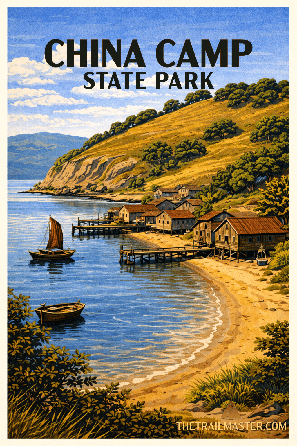
But China Camp is more than a nature preserve. It’s also a living monument to Chinese American history. In the late 1800s, this was a thriving shrimping village. Chinese fishermen cast nets across the shallows, harvested the tiny grass shrimp, dried them in the sun, then separated meat from shell in laborious fashion. The product was in demand across the Pacific, shipped in barrels to China and Japan. But discrimination took its toll. Competing fishermen lobbied for laws that banned bag nets, then in 1905, the export of dried shrimp itself was outlawed. Overnight, an industry collapsed. Families endured, but the village faded into memory.
You can still walk among the remnants: the weathered buildings at China Camp Village, the tiny museum with its displays of nets and wooden boats, the stories of resilience written in photographs and artifacts. Standing here, you feel the weight of history, and how much harder survival was for immigrant communities who built so much of California.
And then, turn uphill, and the mood lightens. The ridge trail separates past from present. Southward, the view sweeps to the crowded, ever-changing Bay Area. Northward, the view down to the shrimp village is almost exactly what it would have been in the 1890s. History dissolves into nature’s constancy.
Wildlife thrives here. Deer graze at meadow edges, egrets stalk the tidal shallows, and hawks ride thermals above oak-studded slopes. In spring, lupine and poppies brighten the trails. Even on a foggy day, when San Francisco vanishes from view, the peninsula feels timeless, a sanctuary held in trust for both memory and discovery.
One word of caution: these narrow trails are beloved by mountain bikers. Share the path, step aside when needed, and remember-it’s the rhythm of the landscape, not the speed of the traveler, that makes the magic here.
China Camp State Park is located at 101 Peacock Gap Trail, San Rafael, CA 94901, Reach the park via North San Pedro Road, approximately four miles east of Highway 101.
Walk the park road to the campground parking lot. Continue past restrooms and an information board, over a bridge and past Campsite 1 to meet Shoreline Trail. The flat trail leads through grassland and to good views of the park’s four distinct shoreline hills-Jake’s Island, Turtle Back, Bullet Hill and Chicken Coop Hill. When the bay water was higher, these hills were islands.
About 0.5 mile from the start, note a path leading to Turtle Back Hill Nature Trail that explores the salt marsh. Shoreline Trail bends inland to-and through-Miwok Meadows Day Use Area then returns to a more shoreline route, paralleling North San Pedro Road.
The trail crosses more grassland and travels as well through a mixed woodland of oak, bay and madrone. About 3.7 miles along, the trail meets Peacock Gap Trail. Go right, ascend 0.1 mile, then go right again on Oak Ridge Trail. Follow the narrow footpath as it switchbacks up the oak-dotted ridge. Continue past a junction with McNears Fire Road to the end of Oak Ridge Trail at about the 5-mile mark.
Continue straight on the narrow path, now named Bay View Trail, and meander in the shade of more oak, madrone and bay. At the 6.5 mile-mark, reach Back Ranch Fire Road and turn right. Descend on the fire road as it switchbacks steeply to its end and a junction with Shoreline Trail. Continue straight on Shoreline Trail back to the campground and then retrace your steps back to the day use area.