This trail and peak honor Lord Baden-Powell, a British Army officer who founded the Boy Scout movement in 1907. The well-engineered trail, grooved into the side of the mountain by the Civilian Conservation Corps in the mid-1930s, switchbacks up the northeast ridge to the peak.
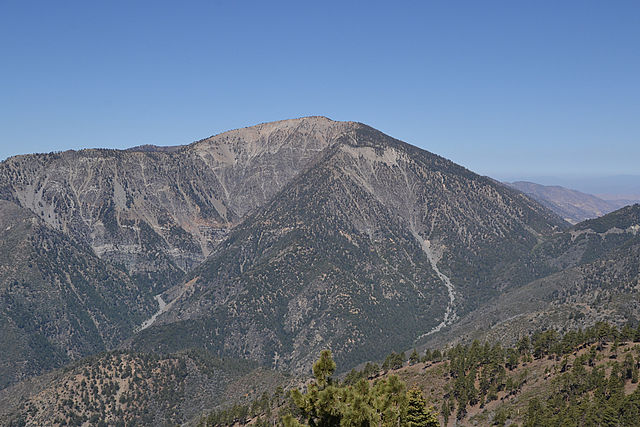
Mount Baden-Powell is the spectacular conclusion to the Scouts’ Silver Moccasin Trail across the San Gabriel Mountains. (photo by Eekster)
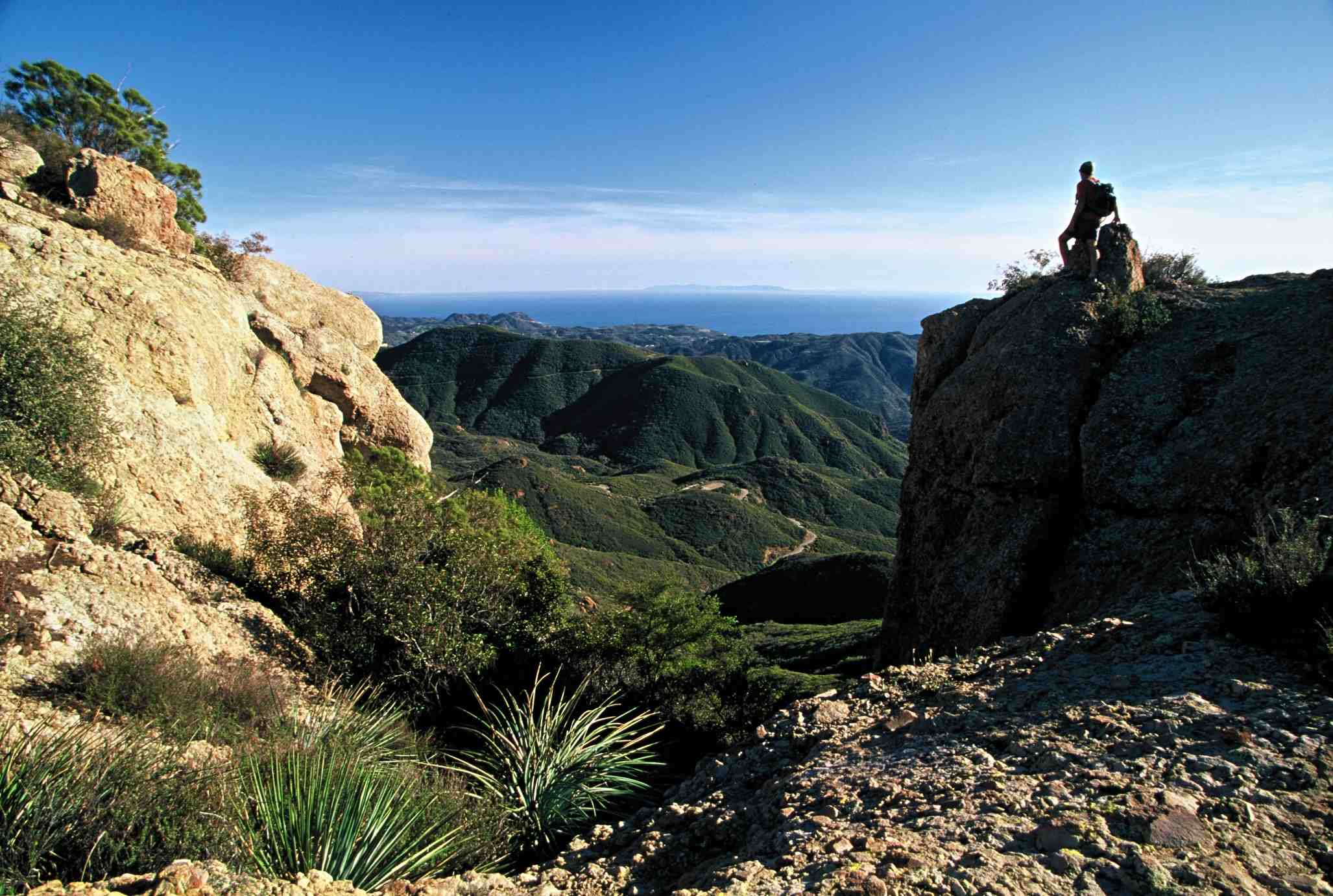
The peak was once known as North Baldy, before Southern California Boy Scouts lobbied the Forest Service for a name change. Mt Baden-Powell is the terminus of the scouts’ 53-mile Silver Moccasin Trail, a rugged week-long backpack through the San Gabriels.
I have fond memories of hiking Mt. Baden-Powell with my own Scout Troop 441 more than 40 years ago. It’s one of those hikes that I enjoy doing over and over again, and that I like to share with friends.
The trail follows a moderate, steady grade to the top of the mountain, where there’s a monument honoring Powell. On the summit, you’ll meet those ancient survivors, the limber pines, and be treated to superb views across the Mojave Desert and down into the Iron Fork of the San Gabriel River.
DIRECTIONS:
Take the Angeles Crest Highway (2) for 53 miles from La Cañada to the Vincent Gap Parking Area. The signed trailhead is at the northwest edge of the parking area. If you’re coming from the east, take Interstate 15 to the Wrightwood exit, three miles south of Cajon Pass. Proceed 8 miles west on Highway 138 to its intersection with Highway 2. Turn left on Highway 2 and drive 14 miles to the trailhead.

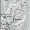
Mt Baden-Powell Map by TomHarrisonMaps.com (click to enlarge)
THE HIKE:
Begin the ascent from Vincent Gulch Divide, a gap separating the upper tributaries of the San Gabriel River to the south from Big Rock Creek to the northwest. The trail switchbacks southwest through Jeffrey pine and fir. The trail numbers more than three dozen of these switchbacks; however, so many inspiring scenes compete for the hiker’s attention it’s hard to get an accurate count.
In 1.5 miles, a side trail (unmarked) leads a hundred yards to Lamel Spring, an inviting resting place and the only dependable water en route.
With increased elevation, the switchbacks grow shorter and steeper and the vegetation changes from fir to lodgepole pine. Soon, even the altitude-loving lodgepoles give way to the heartiest of pines, the limber pine. A half-mile from the summit, around 9,000 feet in elevation, the first of these squat, thick-trunked limber pines come into view.
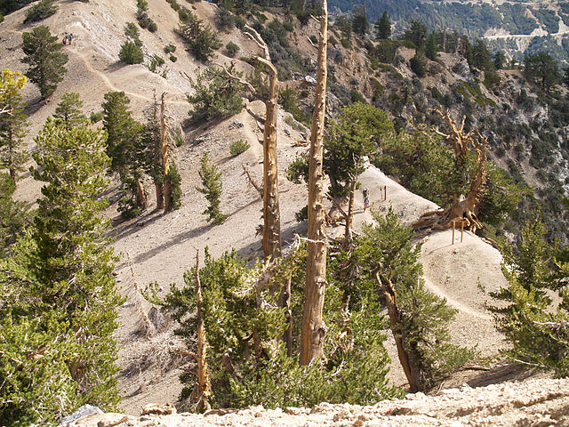
The hike to the summit of Mt Baden-Powell leads past hardy limber pine. (photo by Mitch Barrie)
To Limber Pine Forest: A tiny sign points right (southwest) to the limber pine stand, 0.125 mile. These wind-loving, subalpine dwellers are one of the few living things that can cope with the rarefied atmosphere. Pinus flexilis, botanists call the species, for its long, droopy, flexible branches. They bow and scrape like hyperextended dancers and appear to gather all their nourishment from the wind.
Back on the main trail, a few more switchbacks bring you atop the ridge where Mt. Baldy can be glimpsed. Walk along the barren crest and intersect the Pacific Crest Trail. PCT swoops off to Little Jimmy Spring.
Continue past the limber pines to the summit. A concrete monument pays homage to Lord Baden-Powell. Enjoy the superb view out across the Mojave to the southern Sierra and east to Baldy, San Gorgonio and San Jacinto.
Interested in more hikes in the San Gabriel Mountains? Check out HIKE the San Gabriel Mountains